
The Zuluk to Siliguri route, taken from the Kupup ridge at about 4,300 m down through Zuluk, Lava and the Dooars to the Cooch Behar plain at 48 m, sheds more than 4,000 m of height in a single riding day. Along the way the air gets roughly 70% denser, November afternoons get about 12°C warmer, the forest changes from alpine scrub to sal and tea, and your brakes have to dispose of around 10 megajoules of energy. Treat it as an engineering problem, not just a pretty road.
Calculated in this post from the Kupup elevation (4,298 m) and the Cooch Behar elevation (48 m), which gives a drop of about 4,250 m.
- About 4,250 m of height comes off between Kupup (4,298 m) and Cooch Behar (48 m).
- 59% to 100%: the oxygen in each breath, top of the ride to bottom.
- +12°C: the November gap in mean afternoon highs, Gangtok to Cooch Behar (IMD 1991–2020).
- About 10 MJ of energy leaves a 250 kg bike and rider as heat on the way down.
- 2,300 to 4,000 m: the red panda band, which the road crosses between Kupup and Lava.
Most writing about East Sikkim is about the climb: the permits, the hairpins above Zuluk, the cold at Kupup. The descent gets one line, as if going down were the easy half. It isn't.
A rider coming down from the old Silk Route meets four kinds of change at once:
- The atmosphere: pressure and oxygen per breath;
- The weather: a winter morning becomes a warm afternoon;
- The land and its people: alpine scrub, then forest, then tea gardens;
- The machine: asked to turn height into heat for hours.
This essay takes each of those in turn, with numbers from the India Meteorological Department (IMD), a NASA atmosphere model, field research from the Kangchenjunga landscape and an Indian Army study of altitude illness.
How big is the altitude drop on the Zuluk to Siliguri route?
From Kupup (4,298 m) to Cooch Behar (48 m) the drop is about 4,250 m, and even Zuluk to the plains is roughly 2,700 to 2,850 m. Zuluk sits at about 9,000 ft (2,750 m) by my own GPS on the Nov 2025 ride; some listings put it nearer 2,900 m, depending on where on the ridge you measure.
Lava, the gateway to Neora Valley National Park, sits at about 2,195 m, Gangtok at 1,650 m.
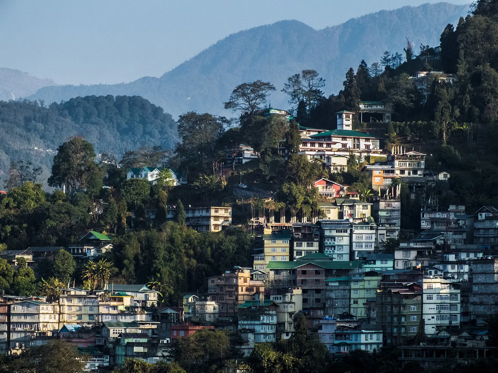
In November 2025 I rode this road on my 2017 Pulsar NS200, on the ride that became The Sikkim Diaries. Near Baba Mandir, at about 4,120 m, ice formed on my visor. On the same ride I saw a red panda, and for a stretch the road ran above the clouds. Then came the long way down: from Zuluk at about 2,750 m, through Lava and the Dooars, to Cooch Behar at about 48 m. That stretch needed no permit; I only had to register at one checkpost on the way out. The whole loop from Bengaluru logged about 3,947 km on Google Timeline, and the record is incomplete.
Sapta: Zuluk to Cooch Behar by bike, snow, then 2,700 m downWhy the height comes off in big bites
The Himalaya rises so abruptly here because there are no foothills worth the name between the Kangchenjunga massif and the Teesta plain. The old trade road that Zuluk served ran from Kalimpong through Pedong and Aritar to Zuluk and over Jelep La into Tibet, and traders used it until 1959.
A road built for mules and later for army trucks did not need to be gentle, so the gradients are steep and the height comes off in big bites. On a motorcycle that means long stretches in second and third gear with the throttle shut.
See the data as a table
| Elevation (m) | |
|---|---|
| Kupup | 4298 |
| Zuluk | 2750 |
| Lava | 2195 |
| Gangtok (reference) | 1650 |
| Cooch Behar | 48 |
Source: Wikipedia station and place infoboxes (Kupup, Dzuluk, Lava, Gangtok, Cooch Behar) · Zuluk from Sapta’s own GPS, Nov 2025; other heights from Wikipedia infoboxes. Gangtok is not on the descent; it is shown because its IMD station gives the hill temperature reference.
The table below puts the same places side by side with what the standard atmosphere says about the air there. Pressure is calculated with the NASA Glenn troposphere model (p = 101.29 × [(T + 273.1)/288.08]^5.256 kPa, valid up to 11,000 m).
Real pressure on a given day differs by a few percent with weather and latitude, but the ratio between the top and bottom of the ride is what matters.
| Place | Elevation (m) | Standard pressure (kPa) | Air vs sea level |
|---|---|---|---|
| Kupup | 4,298 | 59.4 | 59% |
| Zuluk | 2,750–2,900 | 71–73 | 70–72% |
| Lava | 2,195 | 77.7 | 77% |
| Gangtok | 1,650 | 83.1 | 82% |
| Cooch Behar | 48 | 100.8 | 100% |
What happens to the oxygen you breathe on the way down?
Air is about 21% oxygen at every height, but at Kupup each breath holds only about 59% as many oxygen molecules as the same breath in Cooch Behar. Going down, the body gets roughly 1.7 times more oxygen per breath by evening than it had at the top in the morning.
That is the single biggest physical change of the day. The CDC Yellow Book lists headache and loss of appetite among the symptoms of altitude sickness, and says it improves rapidly with a descent of 300 m or more.
What the herders measured
The anthropologists Melvyn Goldstein and Cynthia Beall, who lived with Tibetan herders at around 5,000 m in the 1980s, give the figure in Nomads of Western Tibet: barometric pressure there was about 422 torr against 760 torr at sea level, almost 45% lower.
The NASA model gives 54 kPa (405 torr) for 5,000 m, a little lower than their reading; the standard atmosphere is an average, not a measurement of the Himalaya. Either way, the lesson for the Sikkim ridge is the same. At 4,000 m and above you are working with a bit more than half of a sea-level breath.
Calculated in this post from the NASA Glenn troposphere model at 5,000 m (converted at 7.5 torr per kPa) and the 422 torr that Goldstein and Beall report for 5,000 m.
Why the direction of the loop matters
Descent is the treatment for every form of altitude illness, which is why the order of a Sikkim loop matters. If you go up to Kupup from Gangtok in a morning (a climb of more than 2,600 m), you risk altitude sickness, whose cardinal symptom is headache, and the cure is to come down: the CDC Yellow Book says it improves rapidly with a descent of 300 m or more.
Calculated in this post from the Kupup elevation (4,298 m) and the Gangtok elevation (1,650 m), a climb of about 2,650 m.
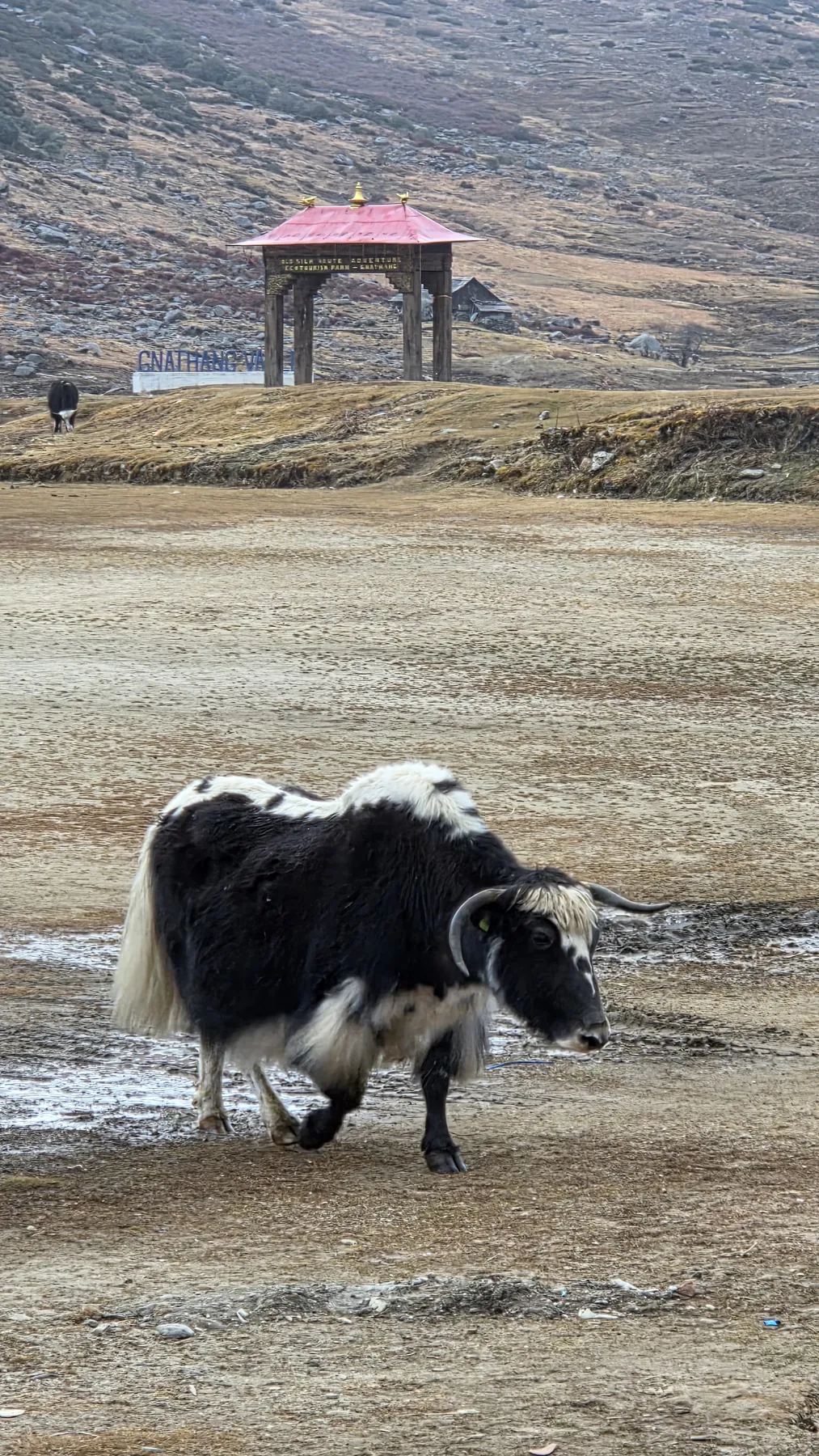
Riders who ride the high road in the other direction, sleeping at Zuluk or Gnathang first, give the body a night to adjust before the top. My longer piece on altitude sickness on motorcycle tours covers the symptoms and the rules for ascent.
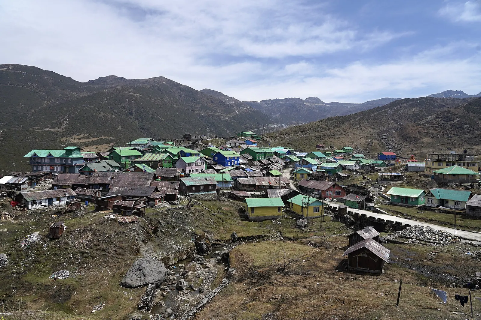
Army doctors reviewed every case of high-altitude pulmonary edema (HAPE) among soldiers posted to Ladakh between January 2016 and December 2019, using hospital records from 2,700 m to 7,000 m. Of 1,41,790 soldiers inducted or re-inducted, 838 developed HAPE, an incidence of 5.91 per 1,000. 68% of cases began within the first week at altitude, and 69.45% occurred in men who had gone back up after a short spell in the plains. The finding matters for riders who come down to a valley and go back up within days: the body loses some of its adjustment quickly. The limit is that this is a military population with fixed acclimatisation schedules, not tourists on motorcycles.
Read the paper (free)
How much warmer does it get between Gangtok and the Dooars in November?
In November, IMD normals for 1991–2020 put Gangtok's mean daily maximum at 17.2°C and Cooch Behar's at 29.2°C, a 12°C gap across 1,600 m of height. That works out to about 7.5°C per kilometre for afternoon highs, a little steeper than the 6.5°C per km of the standard atmosphere.
Night-time lows differ much less: 10.2°C in Gangtok against 15.3°C in Cooch Behar, only about 3.2°C per km, because cold air drains down into the plains at night and the hills hold cloud.
Calculated in this post from the November minimums in the IMD 1991–2020 normals for Gangtok (10.2°C, 1,650 m) and Cooch Behar (15.3°C, 48 m): 5.1°C over 1,602 m is about 3.2°C per km.
| November normal (IMD 1991–2020) | Gangtok, 1,650 m | Cooch Behar, 48 m | Difference |
|---|---|---|---|
| Mean daily maximum | 17.2°C | 29.2°C | +12.0°C |
| Mean daily minimum | 10.2°C | 15.3°C | +5.1°C |
| Rainfall | 36.9 mm | 8.7 mm | about a quarter |
The top of the ridge, by estimate
Extend Gangtok's numbers upwards with the standard 6.5°C per km and the November afternoon maximum at Kupup comes out at roughly 0°C, with nights well below freezing. That estimate is mine, not an IMD figure, but it matches what the army and tour operators report about snow closures.
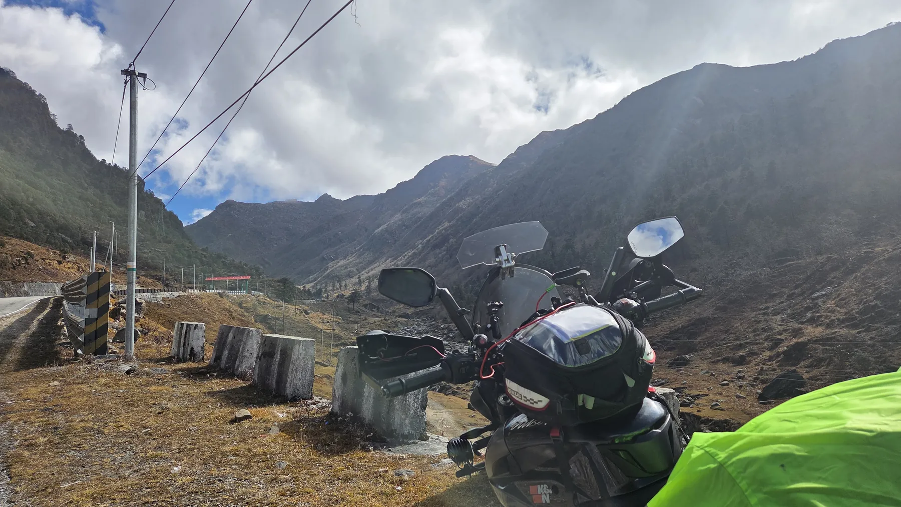
On 30 October 2026, for instance, snowfall shut Nathu La to tourists overnight while Tsomgo Lake and New Baba Mandir stayed open.
Layering for a 12°C swing
For a rider the practical point is layering. The kit that keeps you alive at Kupup at 9 am will cook you in the Dooars at 2 pm.
- Plan a stop around Lava or Rongli to strip a layer, and carry a bag to put it in.
- Respect wind chill at the top: the wind chill calculator shows how a 40 km/h ride at 0°C feels close to minus 7°C on exposed skin.
- Keep a thin layer handy for the evening on the plain, when the night low falls back towards 15°C.
See the data as a table
| Gangtok (1,650 m) (°C) | Cooch Behar (48 m) (°C) | |
|---|---|---|
| Mean daily max | 17.2 | 29.2 |
| Mean daily min | 10.2 | 15.3 |
Source: India Meteorological Department climate normals 1991–2020, via Wikipedia station tables
Why does the forest change so fast on this descent?
Temperature falls by roughly 6.5°C for every 1,000 m you climb, so a 4,250 m descent crosses the same temperature range as a journey from a hill station's winter to the plains' late summer. Kupup and the Bitang Tso (Elephant Lake) basin sit above the tree line on bare grass and rock.
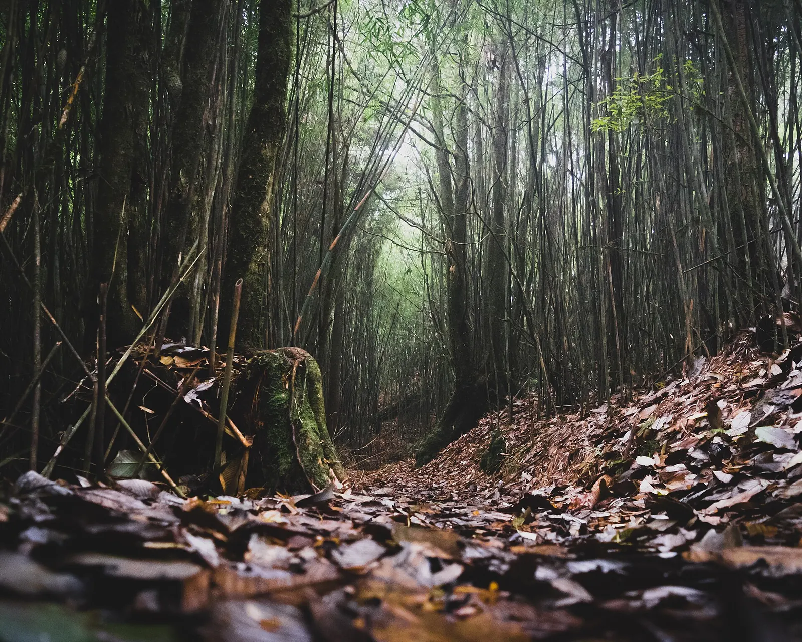

Below them the slopes carry conifer and broadleaf forest, and Lava is the gateway to Neora Valley National Park, one of the last strongholds of the red panda in West Bengal.
The red panda as a marker
The red panda (Ailurus fulgens) is the best indicator species for this band. A 2020 Zoological Survey of India study mapped about 1,310 km² of suitable red panda habitat across Sikkim and the Darjeeling hills, and gave the animal's preferred band as 2,300 to 4,000 m, which is almost exactly the stretch between the top of the Old Silk Route and Lava.
Below that band the road leaves the temperate forest for the warm foothill belt and then the tea estates of the Dooars.
The team collected 234 red panda droppings across Sikkim and North West Bengal (147 and 87), got usable DNA from 98, and identified 24 individual animals with nine microsatellite markers, including six in East Sikkim and five in Neora Valley National Park. They also modelled habitat and found about 1,309.5 km² of suitable land, 62% of it inside protected areas. Gene flow runs mainly from west to east, and East Sikkim and Neora Valley still exchange animals in both directions, through narrow corridors that lie outside protected land. The limit: 24 animals is a small sample, and about 40% of the DNA profiles were mixed.
Read the paper (free)
How hard does a long descent work your brakes?
A 250 kg combination of motorcycle, rider and luggage that comes down 4,250 m loses about 10.4 megajoules of potential energy, and nearly all of it has to leave as heat through the brakes, the engine and the air. That is roughly the energy in a third of a litre of petrol, released as heat in a pair of small steel discs.
Spread over three or four hours it is manageable; concentrated in a few steep kilometres of hairpins it is not.
Where the energy goes
The physics is simple: energy equals mass times gravity times height (E = m × g × h). It leaves by three routes:
- Engine braking in a low gear takes a large share.
- Aerodynamic drag takes a little at hill speeds.
- The pads and discs take the rest, and pass heat into the brake fluid.
If the fluid gets hot enough to boil, the lever goes soft. Old fluid that has absorbed water boils at a lower temperature, so a fluid change before a Himalayan trip is cheap insurance.
Energy your bike must lose on a descent
What does the road itself do to a rider?
The high road above Zuluk is famous for its stacked switchbacks, described on Wikipedia as three levels of zigzags visible at once, and they are tight, often single-lane and shared with army trucks.
Below Zuluk the surface and width vary, landslide scars are common after the monsoon, and the descent towards the Bengal side passes small checkposts where permits are checked. The piece on hairpin road design explains why such bends are built with so little radius on steep slopes.
Permits shape the plan
Permits shape the plan as much as the gradient does. Zuluk falls under a Protected Area Permit processed through the district tourism office at Rongli, usually arranged by a homestay, and a September 2026 permit guide notes that the original ID you submitted must be carried.
In November 2025 Sikkim's Tourism Department said it was moving these permits online with QR codes; trial runs were under way. The full process is in the Sikkim permits guide, and the history of this trade road is in the Old Silk Route history.

What does one day of descent teach a rider?
It teaches that height is a budget. Every metre climbed is stored energy and borrowed oxygen, and the descent pays both back at once: the bike gives up the energy as heat, the body gets the oxygen back as clear thinking.
I've done this descent on my NS200, and it is the one ride that changed how I think about planning a Himalayan day: plan the heat, not just the distance.
Every metre climbed is stored energy and borrowed oxygen. The descent pays both back at once.
The map hides the hard part
On paper Zuluk to Cooch Behar is a modest distance. In practice you are crossing climate zones that the IMD measures in separate stations, forests that ecologists treat as separate habitats, and two states with different permit rules. Budget the day for:
- clothing changes;
- brake rests;
- a hot lunch where the air gets thick again;
- daylight for the plain, where the traffic is heavier than anything on the ridge.
For the history of the shrine at the top of the road, read the story of Baba Harbhajan Singh and Baba Mandir. For more on riding in this part of India, see the Yatri ride atlas.
What's new
- Overnight snow closes Nathu La to tourists; Tsomgo and New Baba Mandir stay open UNI, Oct 2026
- Sikkim moves Nathu La, Tsomgo, Zuluk and North Sikkim permits to an online QR system PTI via The Week, Nov 2025
- Updated guide to Sikkim RAP, PAP and Zuluk permits, verified September 2026 Discover with Dheeraj, Oct 2026
Questions people ask
Can you ride from Zuluk to Siliguri in one day?
It can be done in a day, but leave early. The first part is slow because of switchbacks, checkposts and narrow sections, and you want to reach the plains before dark, when traffic and stray animals make riding harder.
Is it better to ride the Old Silk Route from Gangtok or from Rongli?
For altitude, starting from the Rongli and Zuluk side is gentler, because you can sleep at Zuluk (2,900 m on Wikipedia, about 2,750 m by my own reading) before crossing the 4,000 m ridge. Starting from Gangtok means climbing more than 2,600 m in a morning to Kupup, which raises the risk of altitude sickness.
Do I need special brakes for a long Himalayan descent?
No special parts, but the brakes should be in good order: pads with life left, fresh brake fluid, and a rider who uses engine braking. Fresh fluid matters because old fluid that has absorbed water boils at a lower temperature.
Why do I feel better after coming down from the Old Silk Route?
Because each breath carries more oxygen. At Kupup the air has about 59% of the oxygen of sea-level air per breath; by the Dooars you are back to almost 100%, and mild altitude symptoms usually ease as you descend.
Sources
- Adhya S et al.: Clinico-epidemiological profile of high altitude pulmonary edema, Int J Community Med Public Health (2021)
- Dalui S et al.: Fine-scale landscape genetics of red panda in Kangchenjunga landscape, Scientific Reports (2020)
- Goldstein M, Beall C: Nomads of Western Tibet, University of California Press (1990)
- NASA Glenn Research Center: Earth Atmosphere Model (metric units)
- Wikipedia: Gangtok, climate table from IMD normals 1991–2020
- Wikipedia: Cooch Behar, climate table from IMD normals 1991–2020
- Wikipedia: Dzuluk
- Wikipedia: Kupup
- Wikipedia: Lava, West Bengal
- PTI via The Week: Sikkim set to introduce online permit system for high-altitude travel (2025)
- UNI: Snowfall at Nathu La halts tourist movement (2026)
- Discover with Dheeraj: Sikkim permits RAP, PAP and ILP guide (2026)
- Sapta: Zuluk to Cooch Behar by bike (source for the November 2025 ride story) (2025)

Sapta (Saptarshi Sarkar) is a mechanical engineer turned marketer in Bengaluru and a solo touring rider. He writes the seven Saptaverse blogs. Work with him or read more of RoadHook Rides.


