
The longest national highway in India is NH 44, which runs from Srinagar to Kanyakumari through about a dozen states and is officially listed at about 4,112 km (some tables give 4,225 km). Second is NH 27, the east-west road from Porbandar to Silchar at 3,507 km, and third is NH 48, Delhi to Chennai via Mumbai and Bengaluru, at about 2,916 km. India's whole national highway network passed 1,46,572 km in 2025-26.
- NH 44 is the longest: Srinagar to Kanyakumari, officially about 4,112 km.
- NH 27, the East-West Corridor, runs 3,507 km from Porbandar to Silchar across seven states.
- NH 13 in Arunachal (1,559 km) is the longest highway inside a single state on this list.
- The NH network grew from 91,287 km in 2014 to 1,46,572 km in FY 2025-26.
- National highways saw 36.5% of India's 2023 road deaths; two-wheeler riders were 44.8% of all deaths.
This list ranks highways strictly by length, using the lengths in the national highway list maintained from the Ministry of Road Transport and Highways' 2010 renumbering, as compiled on Wikipedia. Lengths move a little each year as bypasses open and alignments change, so treat the last digits as approximate.
For each highway I add where it goes, what it is like on a motorcycle, and where an access-controlled section may push a rider onto the service road or the old alignment.
On a cold November night in 2020, Om Mahajan, a 17-year-old cyclist from Nashik, set off from Srinagar for Kanyakumari, the same two ends that NH 44 joins. Behind him ran a support vehicle with his father Hitendra, his uncle Mahendra and Kabir Raichure, a solo finisher of the Race Across America. He rode through heavy rain in Madhya Pradesh and hard heat in the south, and said afterwards that sleep, or even rest, had been a luxury.
He reached Kanyakumari after 8 days, 7 hours and 38 minutes, about 3,600 km, beating the 8 days and 9 hours recently ridden by Lt Col Bharat Pannu. That is roughly 430 km a day, on a bicycle. The length of the road was fixed; the time it took came down to the pace he could hold, the stops he took and the crew behind him. That is true of every highway on this list.
The Tribune: 17-yr-old Nashik boy cycles from Kashmir to Kanyakumari in 8 daysSee the data as a table
| Length (km) | |
|---|---|
| NH 44 | 4225 |
| NH 27 | 3507 |
| NH 48 | 2916 |
| NH 52 | 2401 |
| NH 30 | 2025 |
| NH 53 | 1849 |
| NH 16 | 1722 |
| NH 66 | 1681 |
| NH 13 | 1559 |
| NH 34 | 1521 |
| NH 2 | 1408 |
| NH 19 | 1369 |
Source: Wikipedia: List of national highways in India (MoRTH numbering) · NH 44 is officially listed at about 4,112 km in its own article; the list table gives 4,225 km.
| Rank | Highway | From | To | Length (km) | States and UTs |
|---|---|---|---|---|---|
| 1 | NH 44 | Srinagar | Kanyakumari | 4,112 to 4,225 | J&K, HP, Punjab, Haryana, Delhi, UP, Rajasthan, MP, Maharashtra, Telangana, AP, Karnataka, TN |
| 2 | NH 27 | Porbandar | Silchar | 3,507 | Gujarat, Rajasthan, MP, UP, Bihar, West Bengal, Assam |
| 3 | NH 48 | Delhi | Chennai | 2,916 | Delhi, Haryana, Rajasthan, Gujarat, Maharashtra, Karnataka, TN |
| 4 | NH 52 | Sangrur | Ankola | 2,401 | Punjab, Haryana, Rajasthan, MP, Maharashtra, Karnataka |
| 5 | NH 30 | Sitarganj | Vijayawada | 2,025 | Uttarakhand, UP, MP, Chhattisgarh, Telangana, AP |
| 6 | NH 53 | Hazira | Paradip | 1,849 | Gujarat, Maharashtra, Chhattisgarh, Odisha |
| 7 | NH 16 | Kolkata | Chennai | 1,722 | West Bengal, Odisha, AP, TN |
| 8 | NH 66 | Navi Mumbai | Kanyakumari | 1,681 | Maharashtra, Goa, Karnataka, Kerala, TN |
| 9 | NH 13 | Tawang | Wakro | 1,559 | Arunachal Pradesh |
| 10 | NH 34 | Gangotri | Lakhnadon | 1,521 | Uttarakhand, UP, MP |
1. NH 44: Srinagar to Kanyakumari
NH 44 is India's longest national highway, the North-South spine from Srinagar to Kanyakumari, officially about 4,112 km. Its route reads like a list of Indian cities: Jammu, Ludhiana, Ambala, Panipat, Delhi, Agra, Gwalior, Jhansi, Nagpur, Hyderabad, Kurnool, Anantapur, Bengaluru, Hosur, Krishnagiri, Salem, Madurai and Tirunelveli.
Three roads under one number

On a motorcycle it is three different roads:
- The mountain end: the Jammu-Srinagar section, with the 9.28 km Chenani-Nashri tunnel and the 8.45 km Banihal-Qazigund tunnel.
- The plains: Punjab to central India, wide, fast and dense with trucks.
- The Deccan and Tamil Nadu: south of Nagpur, the classic Indian four-lane, with a 16 km raised viaduct section through the Pench Tiger Reserve.
| NH 44 section | What it is like | Feature to know |
|---|---|---|
| Srinagar to Jammu | Mountain road | Chenani-Nashri (9.28 km) and Banihal-Qazigund (8.45 km) tunnels |
| Punjab to central India | Wide, fast, heavy trucks | 70 km raised Delhi-Panipat section (July 2023) |
| Nagpur to Kanyakumari | Classic four-lane | 16 km viaduct through Pench Tiger Reserve |
Raised decks and service roads
Some urban stretches have been rebuilt as raised toll roads on viaducts, such as the 70 km Delhi-Panipat section with eight main lanes, completed in July 2023, and the 10 km raised toll road from Bengaluru to Electronic City. Riders will meet both service roads and raised decks; signage tells you which one bikes use.
- Length: about 4,112 km (list table: 4,225 km)
- Ends: Srinagar and Kanyakumari
- Big tunnels: Chenani-Nashri, Banihal-Qazigund
2. NH 27: Porbandar to Silchar
NH 27 is the East-West Corridor, 3,507 km from Porbandar on the Gujarat coast to Silchar in Assam, across seven states. It runs Rajkot, Udaipur, Chittorgarh, Kota, Shivpuri, Jhansi, Kanpur, Lucknow, Ayodhya, Gorakhpur, Muzaffarpur, Darbhanga, Purnia, Siliguri, Jalpaiguri, Cooch Behar, Guwahati and Lumding, then the hill section through Haflong to Silchar.

For riders heading to the Northeast it is the road that collects you at Siliguri and delivers you to Guwahati. I grew up in Jalpaiguri, and this highway runs right past it on the way to the Dooars.
- Length: 3,507 km
- States: 7
- Rider note: Siliguri-Guwahati is the gateway to the Northeast
How are national highway numbers decided?
Since the Ministry's gazette notification of 28 April 2010, the number tells you the direction and rough position of a highway. North-south routes take even numbers that rise from east to west; east-west routes take odd numbers that rise from north to south.
- Even, north-south: NH 2 in the Northeast, NH 16 on the east coast, NH 44 down the middle, NH 48 further west, NH 66 on the west coast.
- Odd, east-west: NH 27 across the north, NH 53 lower down from Hazira to Paradip.
- Three-digit spurs: a branch takes a prefix on the parent number, so 244 or 344 are branches of NH 44; letter suffixes (A, B, C) mark smaller spurs.
3. NH 48: Delhi to Chennai via Mumbai
NH 48 is about 2,916 km from Delhi to Chennai, through Jaipur, Ahmedabad, Vadodara, Mumbai, Pune, Kolhapur, Belagavi, Hubballi, Bengaluru and Vellore. It is the old Delhi-Mumbai-Bengaluru-Chennai trunk of the Golden Quadrilateral.
Between Mumbai and Pune it is the old ghat road through Khopoli and Khandala, which is where motorcycles must go because the parallel expressway bars two-wheelers; the Bhor Ghat history explains why that climb was so hard to build.
- Length: about 2,916 km
- Corridor: Golden Quadrilateral, west and south arms
- Rider note: old ghat between Khopoli and Khandala
4. NH 52: Sangrur to Ankola
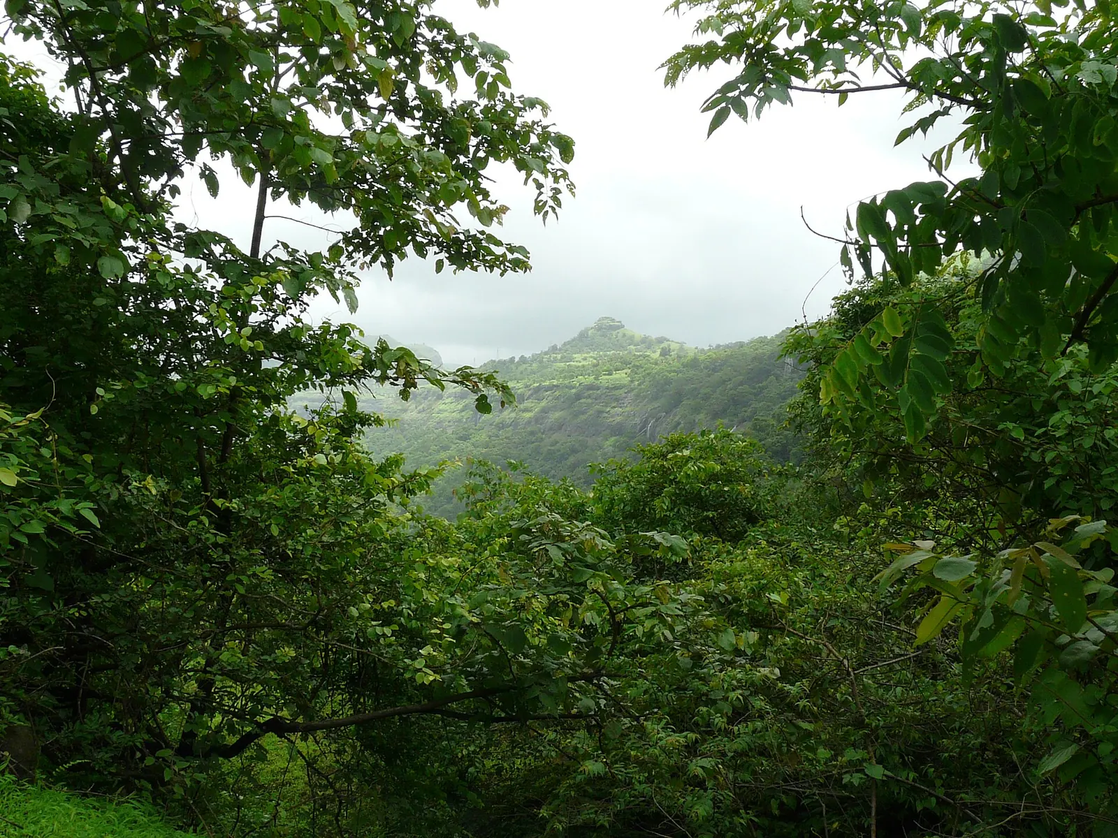
NH 52 is 2,401 km from Sangrur in Punjab to Ankola on the Karnataka coast, cutting diagonally through Haryana, Rajasthan, Madhya Pradesh, Maharashtra and Karnataka. It is an alternative to NH 48 for riders going from the north towards coastal Karnataka without passing through Mumbai.
- Length: 2,401 km
- States: 6
5. NH 30: Sitarganj to Vijayawada
NH 30 is 2,025 km from Sitarganj in Uttarakhand to Vijayawada in Andhra Pradesh, through Uttar Pradesh, Madhya Pradesh, Chhattisgarh and Telangana. It is a second north-south route through central India, east of NH 44.
- Length: 2,025 km
- States: 6
6. NH 53: Hazira to Paradip
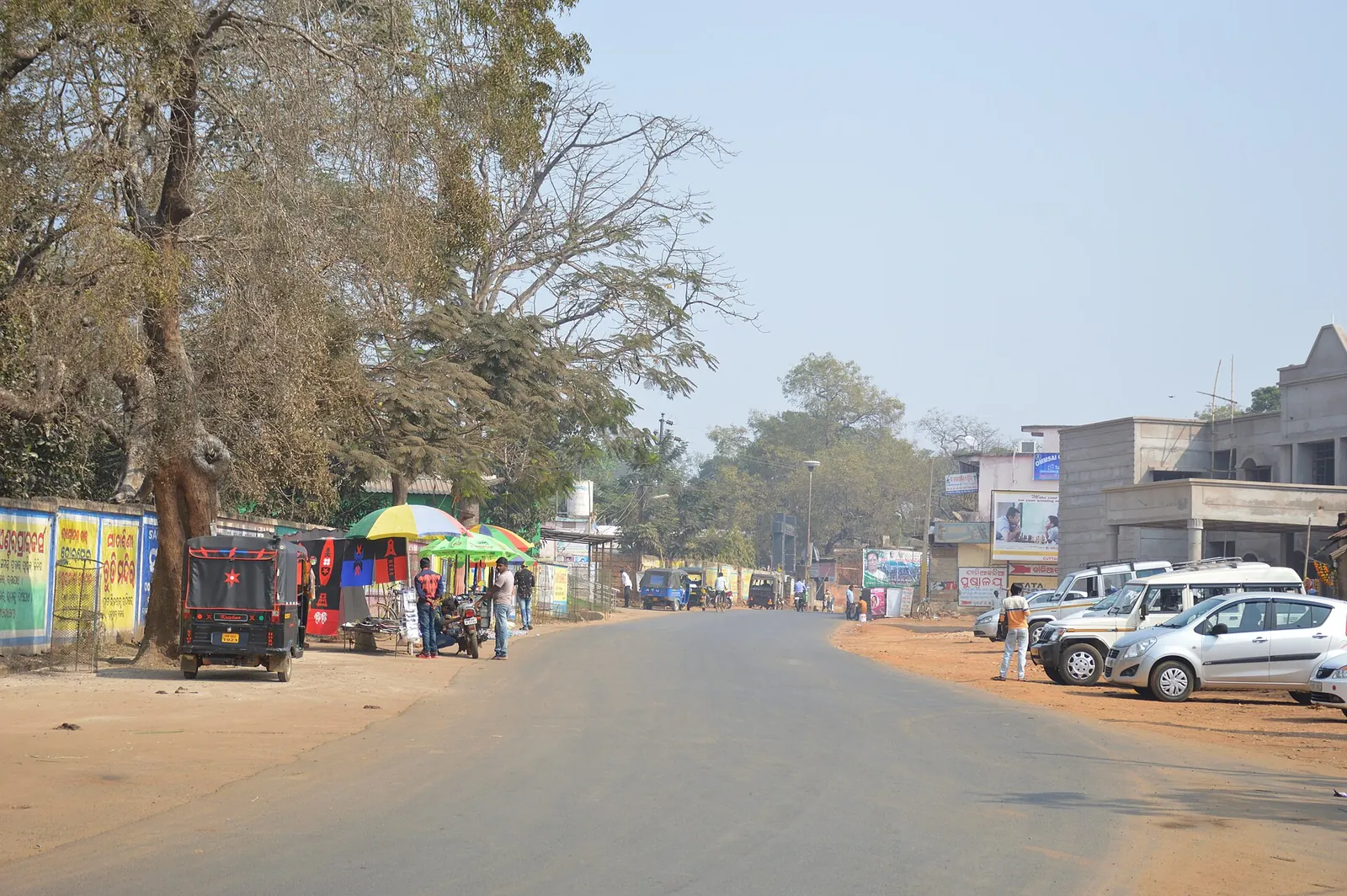
NH 53 is 1,849 km from the port of Hazira in Gujarat to Paradip port in Odisha, through Maharashtra and Chhattisgarh, a coast-to-coast freight corridor. As a port-to-port road it is built around freight.
- Length: 1,849 km
- Character: port-to-port freight route

7. NH 16: Kolkata to Chennai along the east coast
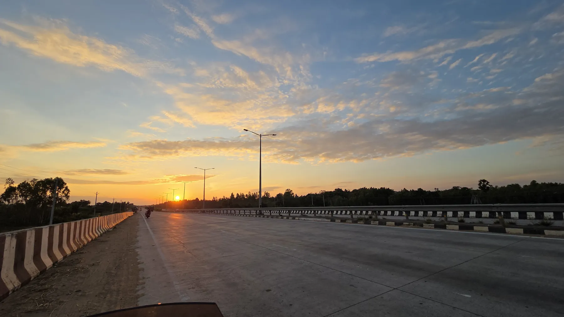
NH 16 is 1,722 km from Kolkata to Chennai through West Bengal, Odisha and Andhra Pradesh, and it is the highway I know best on a motorcycle. On 10 and 11 November 2025 I rode Bengaluru to Kolkata, mostly on NH 16, on my 2017 NS200: about 2,000 km in 38 h 57 min elapsed, 26 h 42 min of it moving.
The route ran through Chittoor, Guntur, Khammam, Visakhapatnam, Berhampur and Kharagpur, stopping roughly every 250 km. That works out to an average moving speed of about 75 km/h, which is a realistic planning number for a four-lane Indian NH on a mid-size bike.
- Length: 1,722 km
- Character: four-lane, coastal plains, heavy freight near ports
- Rider note: hot and humid most of the year
8. NH 66: the west coast road
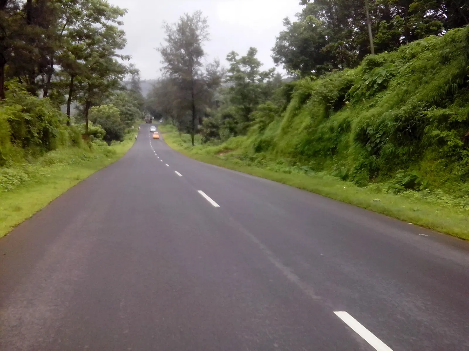
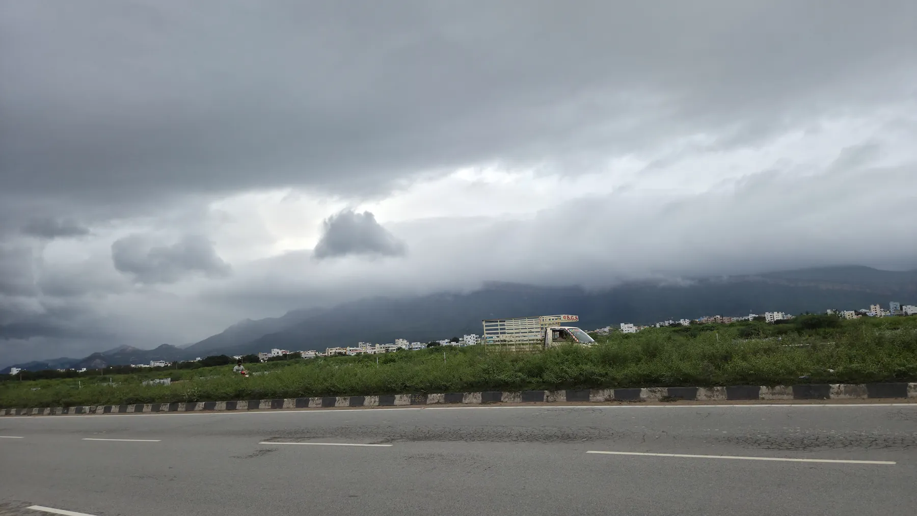
NH 66 is 1,681 km from Navi Mumbai to Kanyakumari through Maharashtra's Konkan, Goa, coastal Karnataka, Kerala and Tamil Nadu, and it is the most scenic long highway on this list. The ride is covered in the Konkan coastal highway guide.
- Length: 1,681 km
- States: 5
- Rider note: the monsoon here is among the heaviest in India
9. NH 13: the Arunachal Frontier road
NH 13 is 1,559 km inside one state, Arunachal Pradesh, from Tawang to Wakro, which makes it the longest single-state national highway on this list. It crosses Sela at 4,170 m, now with a tunnel, and the hill districts that need an Inner Line Permit; the ILP history explains why.
- Length: 1,559 km
- States: 1
- Paper: Arunachal ILP

10. NH 34: Gangotri to Lakhnadon
NH 34 is 1,521 km from the Gangotri shrine in Uttarakhand to Lakhnadon in Madhya Pradesh, where it meets NH 44. It starts as a Himalayan pilgrimage road and ends as a central Indian plains highway.
Just outside the top ten are NH 2 (Dibrugarh to Tuipang, 1,408 km) and NH 19 (Agra to Dankuni near Kolkata, 1,369 km), the modern Grand Trunk Road whose history is in the GT Road post.
- Length: 1,521 km
- Ends: Gangotri and Lakhnadon
How many days does it take to ride India's longest highway?
At 500 km a day, NH 44 takes about eight to nine riding days; at a disciplined 800 km a day it takes five or six. The useful number is not distance but moving hours.
Calculated in this post, with these example inputs (500 and 800 km a day), by dividing the officially listed length of NH 44 (about 4,112 km, Wikipedia) by the daily distance and rounding up to whole days.
My own Bengaluru-Kolkata run averaged about 75 km/h while moving, and that included towns, tolls and trucks. Use the calculator with your own pace.
The useful number is not distance but moving hours.
Days to ride a national highway end to end
For the full method of judging a day's distance, see the 1,000 km day post.
Are national highways dangerous for motorcycles?
National highways carry a disproportionate share of deaths, and two-wheeler riders are the largest group of victims. The Road Transport Ministry's report for 2023 counted 4,80,583 road crashes and 1,72,890 deaths.
The 2023 numbers, by road and by rider
| Measure (2023) | Number | Share |
|---|---|---|
| Crashes on national highways | 1,50,177 | 31.2% of all crashes |
| Deaths on national highways | 63,112 | 36.5% of all deaths |
| Deaths on state highways | - | 22.8% of all deaths |
| Two-wheeler riders killed | - | 44.8% of all deaths |
| Over-speeding | - | 68.1% of violation-linked deaths |
Two-wheeler riders were 44.8% of everyone killed, the largest share for the third year running, and over-speeding accounted for 68.1% of deaths linked to traffic violations.
The official annual compilation of police-reported crashes from all states and union territories. For 2023 it reports 4,80,583 crashes (up 4.2%), 1,60,509 fatal crashes, 1,72,890 deaths and 4,62,825 injuries. National highways accounted for 31.2% of crashes but 36.5% of deaths, so a crash on an NH is more likely to kill than the average crash. Over-speeding was behind 68.1% of deaths linked to traffic violations. Two-wheeler riders made up 44.8% of deaths. Limit: police data under-records injuries and some fatalities, and the report does not give exposure per vehicle-km, so it cannot tell you the risk per kilometre ridden.
Read the report (free)The authors use plant-level data from India's organised manufacturing surveys to measure what happened after the Golden Quadrilateral upgraded 5,846 km of highway linking Delhi, Mumbai, Chennai and Kolkata, now mostly NH 19, NH 16 and NH 48. Using a difference-in-differences design, they compare districts by distance from the upgraded roads: districts within 0 to 10 km saw higher entry of new plants and higher productivity, while districts 10 to 50 km away did not. The North-South and East-West corridors, whose upgrades were delayed, showed no such effect in the same period, which works as a control. Limit: it measures manufacturing, not travel or safety, and covers the 2000s build-out.
Read the paper (free)What's new
- National highway network crosses 1,46,572 km, up 61% from 2014; construction near 34 km a day Hindusthan Samachar, Jun 2026
- Road Ministry report: 1.72 lakh deaths in 4.80 lakh crashes in 2023 DT Next (PTI), Aug 2025
For how these numbers break down by state, see national highway length by state, and for the wider Ride Atlas, Yatri.
Questions people ask
Which is the longest national highway in India?
NH 44, from Srinagar to Kanyakumari, officially about 4,112 km, through about a dozen states and union territories.
Which national highway connects east and west India?
NH 27, the East-West Corridor, runs 3,507 km from Porbandar in Gujarat to Silchar in Assam through seven states, including Rajasthan, Uttar Pradesh, Bihar and North Bengal.
How many km can I ride in a day on Indian national highways?
It depends on your moving speed and stop discipline more than on the road. I have done several 800 to 1,000 km days on my NS200, and my Bengaluru-Kolkata ride on NH 16 covered about 2,000 km in two days with stops every 250 km.
Are two-wheelers allowed on all national highways?
Yes on ordinary NHs, including four- and six-lane ones. Access-controlled expressways and some raised tollways can bar them, which is signed at the entry.
Why are some highway numbers even and others odd?
Under the 2010 scheme, even numbers mark north-south routes (rising from east to west) and odd numbers mark east-west routes (rising from north to south). Three-digit numbers are branches of the two-digit highway they end with.
Sources
- Wikipedia: List of national highways in India (accessed 2026; lengths and the 2010 numbering scheme)
- Wikipedia: National Highway 44 (India) (accessed 2026)
- Wikipedia: National Highway 27 (India) (accessed 2026)
- Wikipedia: Mumbai-Pune Expressway (vehicle restrictions) (accessed 2026)
- MoRTH: Road Accidents in India 2023 (2025)
- DT Next (PTI): 1.72 lakh people died in 4.80 lakh road accidents in 2023 (2025)
- Ghani, Goswami and Kerr: Highway to Success, NBER Working Paper 18524 (2012)
- Hindusthan Samachar: Highways transformation, MoRTH figures (2026)
- Wikipedia: Chenani-Nashri Tunnel (accessed 2026)
- Wikipedia: Banihal Qazigund Road Tunnel (accessed 2026)
- Sapta: Bengaluru to Kolkata by bike, about 2,000 km on NH16 in 2 days (Nov 2025 ride log)
- The Tribune: 17-yr-old Nashik boy cycles from Kashmir to Kanyakumari in 8 days (2020) (source for the story)

Sapta (Saptarshi Sarkar) is a mechanical engineer turned marketer in Bengaluru and a solo touring rider. He writes the seven Saptaverse blogs. Work with him or read more of RoadHook Rides.


