A Mumbai to Goa bike ride is about 439 km on NH 66, the Mumbai–Goa highway, and in late 2026 it is mostly four-laned but not finished: Sindhudurg is complete, Raigad and Ratnagiri were 73 to 98% done in March 2026, and the Mangaon and Indapur bypasses were left out of the completion target. Ride NH 66 if you want two days or fewer; ride the coastal road through Alibag, Murud, Dapoli, Ganpatipule and Malvan if you have four or five, using creek ferries where the bridges run out. Go between November and February: Ratnagiri gets 3,245 mm of rain a year, almost all of it from June to September.
- 439 km Mumbai to Goa on NH 66: one long day or two easy ones; the coastal road takes four to five days.
- Sindhudurg 100% done; Raigad and Ratnagiri were 73 to 98% done in March 2026, with the Mangaon and Indapur bypasses left out.
- Two creek ferries, Dabhol–Dhopave and Jaigad–Tawsal, save long inland loops on the coastal route.
- November to February is the window: Ratnagiri gets 3,038 mm of its 3,245 mm a year from June to September.
- 51% more crashes on days with over 50 mm of rain, in a six-state US study: the monsoon raises the risk, not just the wetness.
The Konkan is the one long coastal ride on India's west side that a rider from Mumbai, Pune, Bengaluru or Goa can do in a long weekend or stretch into a week. NH 66 carries on south past Goa along the Karnataka coast, past Gokarna, which I have ridden to from Bengaluru.
This guide is built from the Maharashtra Public Works Department's statements in 2025 and 2026, India Meteorological Department climate normals, reporting on the ferries, and crash research on riding in rain.
Should you take NH 66 or the coastal road from Mumbai to Goa?
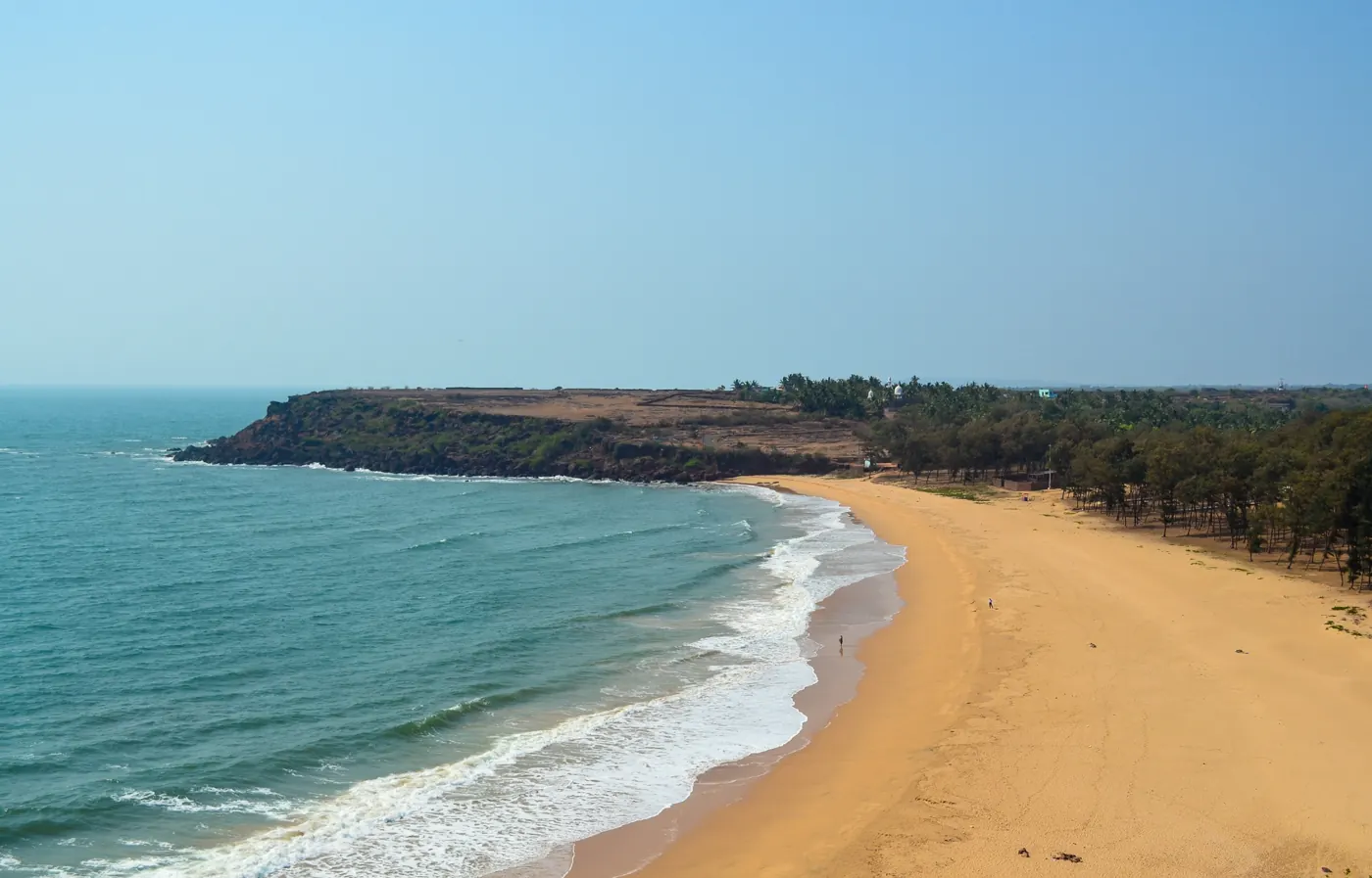
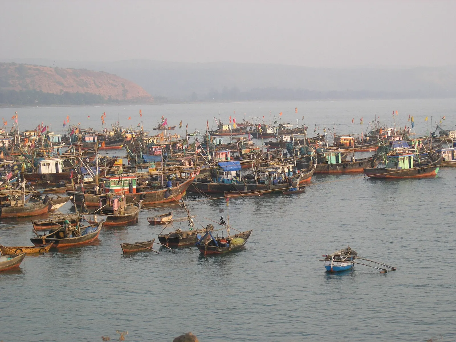
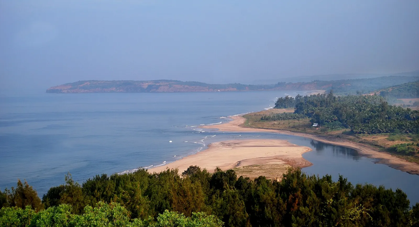
Take NH 66 for speed and the coastal road for the ride. NH 66 runs inland of the coast through Panvel, Indapur, Mangaon, the Kashedi Ghat, Chiplun, Sangameshwar and Lanja; the coastal road stays near the sea through fishing towns and beaches, at the cost of narrow lanes, more villages and a few creek crossings.
| NH 66 (Mumbai–Goa highway) | Coastal road | |
|---|---|---|
| Route | Panvel, Indapur, Mangaon, Kashedi Ghat, Chiplun, Sangameshwar, Lanja, then Sindhudurg district | Alibag, Murud, Shrivardhan, Dapoli, Guhagar, Ganpatipule, Ratnagiri, Devgad, Malvan, Vengurla |
| Road | Mostly four-lane in 2026, with diversions where work continues | Two-lane state and district roads, villages, some rough patches |
| Crossings | Bridges throughout | Creek ferries (Dabhol–Dhopave, Jaigad–Tawsal) or inland detours |
| Days on a bike | One long day or two easy ones | Four to five days with stops |
| Fuel | Plentiful along the highway | Fill in the larger towns; village pumps can be far apart |
| Best for | Getting to Goa | Riding the Konkan itself |
The common plan is a mix: coastal road where the beaches are (Alibag to Ganpatipule, then Devgad to Malvan and Vengurla), and NH 66 to link the sections fast. The sections join at many points, because most coastal towns have a spur road to the highway.
What is the state of the Mumbai–Goa highway (NH 66) in 2026?
The highway is close to done but not done. In the Maharashtra Legislative Council on 1 March 2026, Public Works Minister Shivendraraje Bhosale set May 2026 as the target for the 466 km Maharashtra stretch, with these figures:
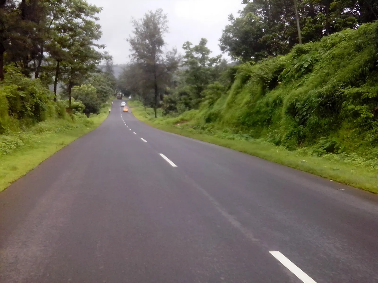
- Sindhudurg: 100% complete
- Ratnagiri and Raigad: 73% to 98% complete, depending on the package
- Panvel–Indapur (84 km, NHAI): about 84% complete (PuneNow, 2 Mar 2026)
- Left out of the May 2026 target: the Mangaon and Indapur bypasses
- Still pending: some bridge works, which may run into early 2027
Why it is late
That target had already slipped. In March 2025 the same minister promised completion by the end of 2026 and listed the problem stretches:
- Mangaon–Indapur: the contractor had to be replaced.
- Chiplun: a girder collapsed on the flyover in the Bahadur Sheikh area.
- Sangameshwar–Lanja: held up by contractor disputes.
- Kashedi Ghat: the tunnel was due by May 2025.
- Wadkhal Naka: needed traffic fixes.
The causes he named were land acquisition, environmental clearances, contractor failures, legal disputes and late design changes.
On the night of 2–3 August 2016, in very heavy rain, the British-era bridge that carried the Mumbai–Goa highway over the Savitri river at Mahad in Raigad district gave way. Two Maharashtra state transport buses and several other vehicles went into the swollen river.
The search ran for days, with an NHAI crane and a 300 kg magnet on the bank. On 11 August, Indian Navy divers found the wreckage of the two buses 170 to 200 metres from the bridge, under 4 to 6 metres of water. By then 26 bodies had been recovered, and at least 42 people were believed dead. The state's public works minister said the old bridge had been due to be dismantled in December 2015. A judicial inquiry was ordered.
The new four-lane road is partly the answer to nights like that one. Until every bridge on it is finished, the monsoon still sets the rules.
Scroll.in: Mahad bridge collapse, wreckage of two state buses found by Indian Navy divers (2016)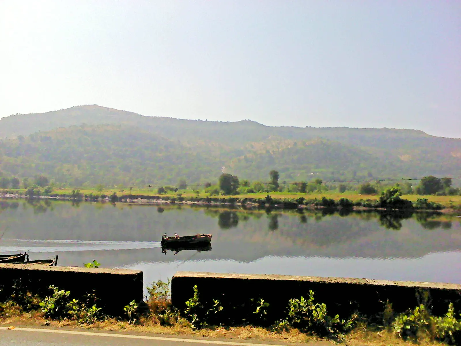
What it means on a bike in late 2026
Expect four-lane running for most of the way, with diversions and single-lane sections around Mangaon and Indapur and at unfinished bridges.
Diversions are where the surface is worst and where trucks and buses squeeze two-wheelers, so slow down there rather than on the open four-lane. For the longer story of the ghats this road crosses, see the history of the Bhor Ghat road, and for hairpin-heavy roads elsewhere, India's roads with the most hairpin bends.
How do the creek ferries work on the coastal road?
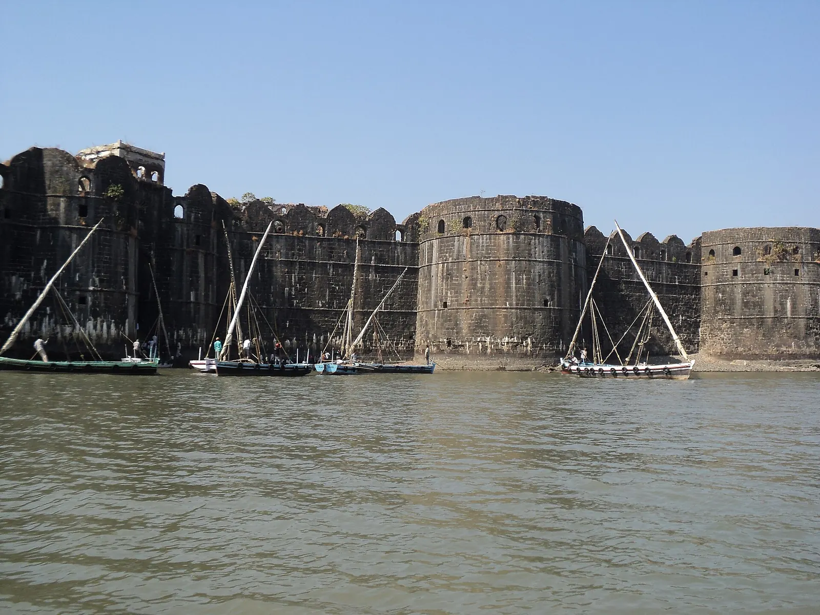
The coastal road is cut by creeks, and two vehicle ferries save long inland loops:
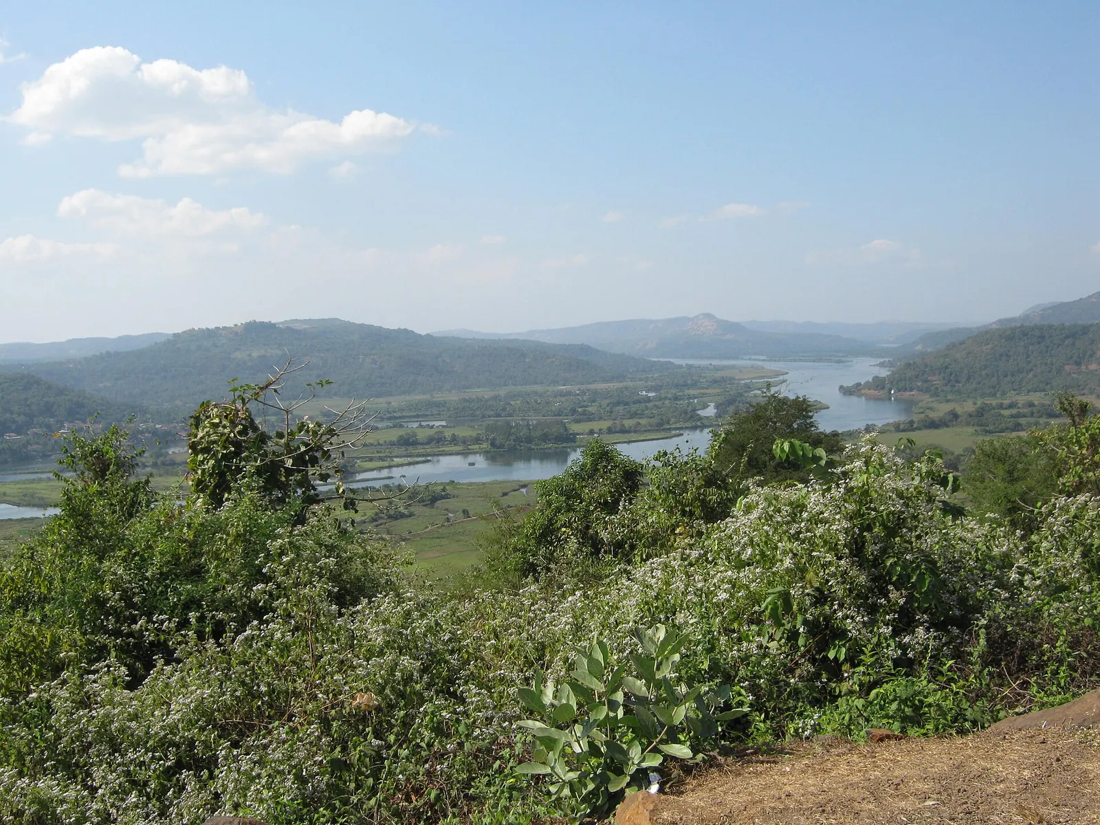
- Dabhol to Dhopave, linking the Dapoli and Guhagar sides of Ratnagiri district, run by Suvarnadurga Shipping and Marine Services since 21 October 2003.
- Jaigad to Tawsal, further south.
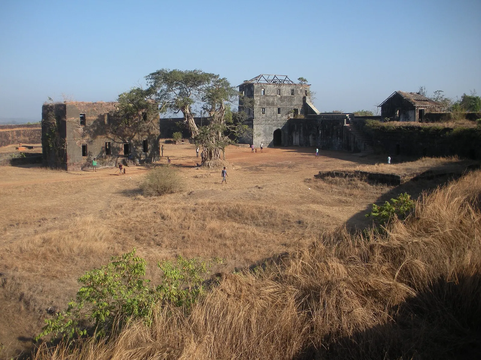
Listings say they run at intervals through the day with timings that depend on tides and local conditions. The operator publishes its rate card and timetable only as images, so confirm the fare for a bike and the last crossing locally the evening before.
The Ro-Ro ferry that has not sailed
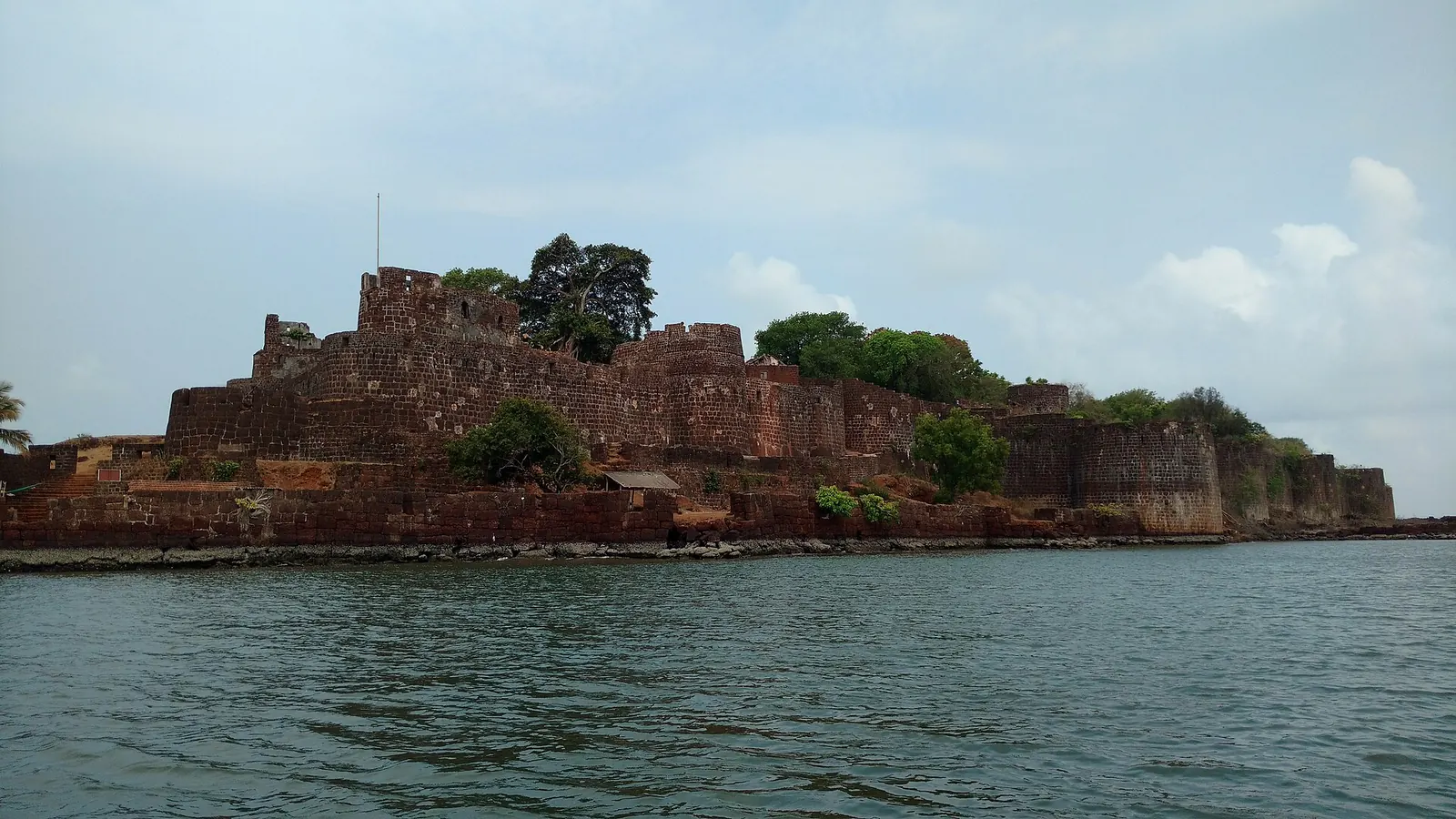
A much bigger ferry has been promised and not delivered. A Mumbai–Konkan Ro-Ro service on the vessel M2M Princess was announced in August 2025 to run from Bhaucha Dhakka in Mumbai to Jaigad (Ratnagiri) and Vijaydurg (Sindhudurg), cutting Mumbai to Jaigad to 3 to 4 hours against 10 to 12 by road.
Its proposed fares included ₹2,500 for an economy seat and ₹1,000 for a two-wheeler. By December 2025 it still had not started; the state was weighing viability gap funding, because a round trip would burn 18,000 to 20,000 litres of diesel. Do not plan around it until it is running.
When is the best time for a Konkan coastal ride?
November to February is the best time: dry roads, clear skies and cooler mornings. From June to September the Konkan is one of the wettest stretches of coast in India; Ratnagiri averages 3,245 mm a year over about 96 rainy days, and 3,038 mm of that falls from June to September.
See the data as a table
| Ratnagiri (mm) | Panaji (Goa) (mm) | |
|---|---|---|
| Jan | 0.3 | 1.0 |
| Feb | 0 | 0.1 |
| Mar | 0.2 | 0 |
| Apr | 1.4 | 4.9 |
| May | 38.3 | 76.6 |
| Jun | 901.8 | 890.4 |
| Jul | 1041.7 | 955.2 |
| Aug | 678.1 | 571.7 |
| Sep | 416.4 | 304.1 |
| Oct | 149.4 | 156.4 |
| Nov | 15.1 | 21.3 |
| Dec | 2.1 | 2.5 |
Source: India Meteorological Department, Climatological Tables of Observatories in India 1991–2020 (as tabulated on Wikipedia) · Panaji normals as tabulated for 1991–2020; the source page attributes rainfall less clearly than for Ratnagiri.
| Months | Rain at Ratnagiri | Riding verdict |
|---|---|---|
| November to February | 0 to 15 mm a month, about 1 rainy day | Best; book stays for Christmas and New Year early |
| March to May | Under 40 mm a month, but hot and humid | Fine for early-morning riding |
| June to September | 416 to 1,042 mm a month, 15 to 26 rainy days | Monsoon ride only for experienced riders with proper rain gear |
| October | 149 mm, about 6 rainy days | Green and quiet; late showers likely |
See the data as a table
| Rainfall (mm) | |
|---|---|
| June to September | 3038 |
| October to May | 207 |
Source: India Meteorological Department normals for Ratnagiri, as quoted in this post
Why monsoon riding is riskier, not just wetter
The monsoon is not just wet; it changes the crash risk. July at Ratnagiri averages over 1,000 mm across about 26 rainy days, which is roughly 40 mm on a typical rainy day; many days are heavier, and the research below finds risk climbing steeply on days above 50 mm. The arrival dates that decide your window are in monsoon onset dates for riders, and the wettest roads in the country are ranked in India's wettest places to ride in the monsoon.
On days with more than 50 mm of rain, crashes rose about 51% and injuries 38%.Black, Villarini and Mote, Weather, Climate, and Society, 2017
The authors matched rainy days against comparable dry days using daily gridded rainfall and crash records from six US states (Arkansas, Georgia, Illinois, Maryland, Minnesota and Ohio) for 1996 to 2010. Crash rates rose about 10% and injury rates about 8% on rainy days, adding roughly 28,000 crashes and 12,000 injuries each May to September. On days with more than 50 mm of rain, crashes rose about 51% and injuries 38%. Rural counties, with and without interstates, also showed higher risk. The limit: US roads and drivers, all vehicle types, not motorcycles specifically. The dose-response, more rain means more risk, is the part that transfers to a Konkan monsoon.
Read the paper (free)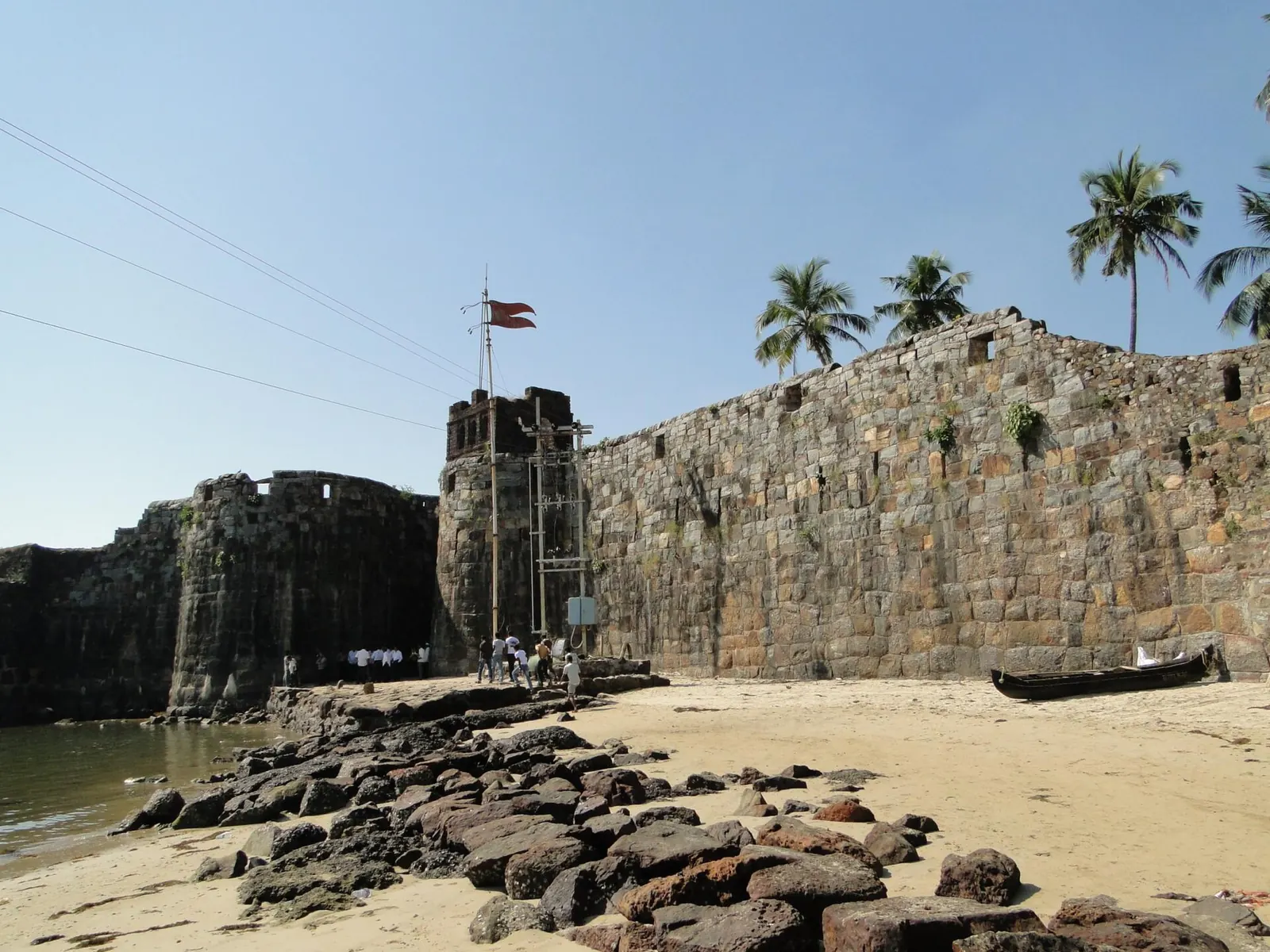
What makes NH 66 risky for riders, and how do you ride it safely?
Straight, fast four-lane sections are where most of the risk sits, not the ghats. India's road ministry data for 2023 found that 67% of accidents happened on straight roads, against 14.47% on curves, potholed roads and steep grades combined, and that national highways had 36.5% of road deaths on 31.2% of accidents.
The ministry counted 4,80,583 accidents and 1,72,890 deaths in 2023. Two-wheeler riders made up 44.8% of those killed, overspeeding was linked to 68.1% of deaths and wrong-side driving to 5.5%. National highways, including expressways, had 63,112 deaths. Crashes in open areas accounted for 53.64% of deaths. The limit: police-recorded data with no exposure measure, so it cannot say which road is safer per kilometre. On a road like NH 66, where long new four-lane stretches alternate with diversions and wrong-side traffic at unfinished junctions, the pattern fits.
Read the summary (free)- Ride the left lane and watch for wrong-side traffic near villages and unfinished service roads, where local two-wheelers and tractors take the short way.
- Slow down at diversions, where new concrete meets old tar and gravel, especially in rain.
- Ride in daylight. Unlit diversions and cattle on the highway are the night hazards.
- In the monsoon, treat painted lines, concrete joints and bridge expansion plates as ice, and double your following distance.
- Take breaks every couple of hours. I stop about every 250 km on long highway days; on a hot, humid coast, more often.
What does a five-day Mumbai to Goa coastal ride look like?
A comfortable coastal plan is five riding days, using the sea road where it is best and NH 66 to link. Stages here are by town, not by kilometre, because the coastal distances change with the ferries and detours you take.
Use this to check what you just read: set your own distance, average speed and riding hours to see how many days your version takes.
How many days for your Mumbai–Goa ride?
- Day 1: Mumbai to Alibag and Murud. Leave Mumbai early; the Raigad coast starts within a couple of hours.
- Day 2: Murud to Shrivardhan and Dapoli. Quiet beach roads and fishing towns.
- Day 3: Dapoli to Ganpatipule. Cross at Dabhol–Dhopave and Jaigad–Tawsal, or detour inland.
- Day 4: Ganpatipule to Ratnagiri and Devgad. The Ratnagiri coast, then south toward Sindhudurg.
- Day 5: Devgad to Malvan, Vengurla and into Goa. The finished Sindhudurg section of NH 66 makes the last leg quick.
Pack light and plan for heat and sudden showers outside winter: my bike trip packing list sorts it by bag. For all my long rides, see the Yatri world.

What's new
- Minister sets May 2026 target for the 466 km Maharashtra stretch of NH 66, bypasses excluded PuneNow, Mar 2026
- Mumbai–Konkan Ro-Ro ferry still not sailing months after launch announcement Maritime News, Dec 2025
- Mumbai–Goa highway to be completed by end of 2026, says minister Free Press Journal, Mar 2025
Questions people ask
How long does a Mumbai to Goa bike ride take?
On NH 66, car time is currently 12 to 13 hours for about 439 km, which most riders split over two days. The coastal road takes four to five days if you stop at the beaches.
Is the Mumbai–Goa highway complete?
Not fully, as of late 2026. Sindhudurg is complete and most of Ratnagiri and Raigad is done, but the Mangaon and Indapur bypasses and some bridges were excluded from the May 2026 target, with some works expected to run into early 2027.
Can I take my bike on the Konkan creek ferries?
The Dabhol–Dhopave and Jaigad–Tawsal crossings are vehicle ferries, but their fares and timetables are published only as images and depend on tides. Confirm the bike fare and the last crossing locally before you plan the day around them.
Is it safe to ride the Konkan in the monsoon?
It is possible with good rain gear, tyres and experience, but crash risk rises with rainfall, and Ratnagiri averages over 900 mm in each of June and July. If it is your first long ride, go between November and February.
Which is better for bikers, NH 66 or the coastal road?
The coastal road for the experience, NH 66 for time. Most riders combine them: coast where the beaches are, highway to link.
Sources
- Free Press Journal: Mumbai–Goa highway to be completed by end of 2026 (2025)
- PuneNow: Mumbai–Goa highway final countdown, May 2026 target (2026)
- Maritime News: Mumbai–Konkan Ro-Ro ferry still grounded (2025)
- India Meteorological Department climate normals 1991–2020 for Ratnagiri, as tabulated on Wikipedia (2026)
- India Meteorological Department climate normals for Panaji, as tabulated on Wikipedia (2026)
- Black, Villarini and Mote: Effects of Rainfall on Vehicle Crashes in Six U.S. States, Weather, Climate, and Society (2017)
- PTI via The Week: Road Accidents in India 2023 report (2025)
- Car Ferry: Dabhol–Dhopave ferry service (2025)
- Scroll.in: Mahad bridge collapse, wreckage of two state buses found by Indian Navy divers (2016)
- Scroll.in: Mahad bridge collapse, structure was supposed to be dismantled last year, says minister (2016)

Sapta (Saptarshi Sarkar) is a mechanical engineer turned marketer in Bengaluru and a solo touring rider. He writes the seven Saptaverse blogs. Work with him or read more of RoadHook Rides.


