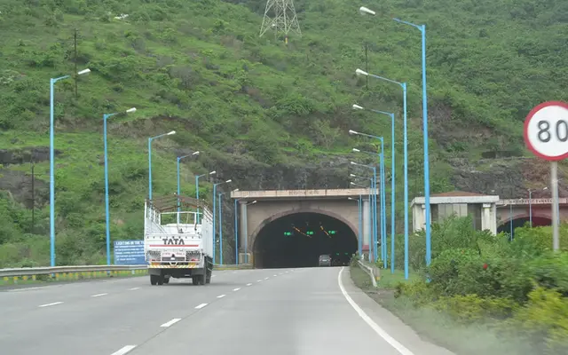
Maharashtra has the longest national highway network of any Indian state, 18,459 km as of 31 December 2022, followed by Uttar Pradesh (12,270 km), Rajasthan (10,706 km) and Madhya Pradesh (9,105 km), according to the Ministry of Road Transport and Highways. Across India the network was 1,44,955 km at that date. Measured per 1,000 km² of land, the densest networks are in Nagaland and Sikkim, at about 100 km each, and the thinnest are in Chhattisgarh, Madhya Pradesh and Rajasthan.
- 18,459 km: Maharashtra's NH network, 50% more than second-placed Uttar Pradesh.
- About 100 km per 1,000 km²: Nagaland and Sikkim have the densest networks; Chhattisgarh has 27.
- 91,287 to 1,46,145 km: the NH network grew about 60% between 2013-14 and November 2023.
- About 2%: national highways' share of India's 66.71 lakh km of roads.
- 0 to 10 km: the band around the Golden Quadrilateral where new factories clustered (Ghani et al.).
The state figures here come from the state/UT-wise table in MoRTH's Annual Report 2022-23 (Appendix 2), the most recent full state breakdown I could open and verify line by line.
I divided each figure by the state's area and by its 2011 Census population, so you can see where national highways are thick on the ground and where a long ride depends on state highways and district roads.
Why a rider should care: national highways are where you find four-lane carriageways, regular fuel, highway lighting at junctions and a predictable surface. The numbers tell you which states let you string together a very long day on NH, and which ones will slow you down.
From 7:27 am on 3 June 2022 to 5 pm on 7 June, crews working for the National Highways Authority of India laid bituminous concrete without a break on NH 53 between Amravati and Akola in Maharashtra. About 720 workers, including a team of independent consultants, worked day and night for the contractor, Rajpath Infracon. When they stopped, they had laid 75 km of a single continuous lane in 105 hours and 33 minutes, equal to 37.5 km of two-lane road with paved shoulders. It went into the Guinness World Records as the longest continuously laid bituminous lane; the previous mark was 25.275 km, laid in Doha, Qatar, over 10 days in February 2019. Road minister Nitin Gadkari announced it on 8 June. It happened in the state with the longest national highway network in India, and it is a reminder that every kilometre in the tables below was built one lane at a time.
The Tribune: India's highway authority creates world record, lays longest bituminous lane of 75 km in 105 hoursSee the data as a table
| NH length (km) | |
|---|---|
| Maharashtra | 18459 |
| Uttar Pradesh | 12270 |
| Rajasthan | 10706 |
| Madhya Pradesh | 9105 |
| Andhra Pradesh | 8683 |
| Karnataka | 8037 |
| Gujarat | 7885 |
| Tamil Nadu | 7000 |
| Bihar | 5969 |
| Odisha | 5897 |
| Telangana | 4926 |
| Arunachal Pradesh | 4285 |
| Punjab | 4239 |
| Assam | 4077 |
| West Bengal | 3675 |
| Uttarakhand | 3664 |
| Chhattisgarh | 3620 |
| Jharkhand | 3430 |
| Haryana | 3391 |
| Himachal Pradesh | 2607 |
| Manipur | 1840 |
| Kerala | 1782 |
| Nagaland | 1670 |
| Mizoram | 1499 |
| Meghalaya | 1156 |
| Tripura | 889 |
| Sikkim | 709 |
| Goa | 299 |
Source: MoRTH Annual Report 2022-23, Appendix 2: State/UT-wise details of NHs · States only; UTs listed in the table below. Figures rounded to the nearest km.
Which state has the most national highway?
Maharashtra, by a wide margin: its 18,459 km (Business Today, citing MoRTH, December 2022) is 50% more than second-placed Uttar Pradesh.
Calculated in this post from Maharashtra's 18,459 km and Uttar Pradesh's 12,270 km (both in the table below and in Business Today): 18,459 / 12,270 = 1.50.
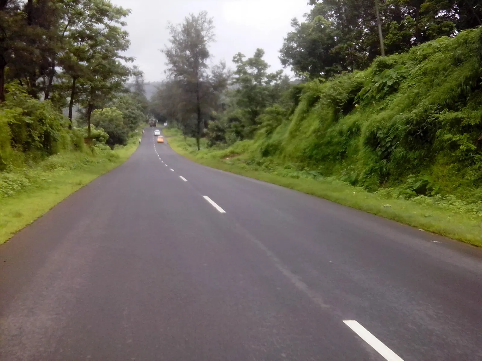
Maharashtra's lead is recent. In March 2014 it had 6,249 km, less than Uttar Pradesh (7,986 km) or Rajasthan (7,646 km) (Business Today). Its NH length nearly tripled in eight years, far faster than anyone builds roads, which points to existing state roads being declared national highways.
| Rank | State | NH length (km) | NH km per 1,000 km² | NH km per lakh people |
|---|---|---|---|---|
| 1 | Maharashtra | 18,459 | 60.0 | 16.4 |
| 2 | Uttar Pradesh | 12,270 | 50.9 | 6.1 |
| 3 | Rajasthan | 10,706 | 31.3 | 15.6 |
| 4 | Madhya Pradesh | 9,105 | 29.5 | 12.5 |
| 5 | Andhra Pradesh | 8,683 | 53.3 | 17.5 |
| 6 | Karnataka | 8,037 | 41.9 | 13.2 |
| 7 | Gujarat | 7,885 | 40.2 | 13.0 |
| 8 | Tamil Nadu | 7,000 | 53.8 | 9.7 |
| 9 | Bihar | 5,969 | 63.4 | 5.7 |
| 10 | Odisha | 5,897 | 37.9 | 14.0 |
| 11 | Telangana | 4,926 | 43.9 | 14.0 |
| 12 | Arunachal Pradesh | 4,285 | 51.2 | 309.7 |
| 13 | Punjab | 4,239 | 84.2 | 15.3 |
| 14 | Assam | 4,077 | 52.0 | 13.1 |
| 15 | West Bengal | 3,675 | 41.4 | 4.0 |
| 16 | Uttarakhand | 3,664 | 68.5 | 36.3 |
| 17 | Chhattisgarh | 3,620 | 26.8 | 14.2 |
| 18 | Jharkhand | 3,430 | 43.0 | 10.4 |
| 19 | Haryana | 3,391 | 76.7 | 13.4 |
| 20 | Himachal Pradesh | 2,607 | 46.8 | 38.0 |
| 21 | Manipur | 1,840 | 82.4 | 64.4 |
| 22 | Kerala | 1,782 | 45.8 | 5.3 |
| 23 | Nagaland | 1,670 | 100.8 | 84.4 |
| 24 | Mizoram | 1,499 | 71.1 | 136.6 |
| 25 | Meghalaya | 1,156 | 51.5 | 38.9 |
| 26 | Tripura | 889 | 84.7 | 24.2 |
| 27 | Sikkim | 709 | 99.9 | 116.1 |
| 28 | Goa | 299 | 80.8 | 20.5 |
The union territories hold the rest:
- Jammu and Kashmir 1,752 km and Ladakh 806 km;
- Andaman and Nicobar 331 km and Delhi 157 km;
- Puducherry 64 km, Dadra and Nagar Haveli 37 km, Daman and Diu 22 km and Chandigarh 15 km.
Where is the national highway network densest?
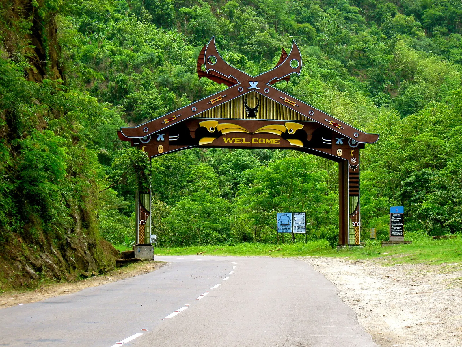
Small hill states in the Northeast have the densest networks: Nagaland has about 101 km of NH per 1,000 km² and Sikkim about 100 km, more than three times Chhattisgarh's 27 km.
In those states the national highway is often the only all-weather road, so almost every through route is an NH by necessity.
See the data as a table
| Density (km per 1,000 km²) | |
|---|---|
| Nagaland | 100.8 |
| Sikkim | 99.9 |
| Tripura | 84.7 |
| Punjab | 84.2 |
| Manipur | 82.4 |
| Goa | 80.8 |
| Haryana | 76.7 |
| Mizoram | 71.1 |
| Uttarakhand | 68.5 |
| Bihar | 63.4 |
| Maharashtra | 60.0 |
| Tamil Nadu | 53.8 |
| Andhra Pradesh | 53.3 |
| Assam | 52.0 |
| Uttar Pradesh | 50.9 |
| Karnataka | 41.9 |
| Gujarat | 40.2 |
| Odisha | 37.9 |
| Rajasthan | 31.3 |
| Madhya Pradesh | 29.5 |
| Chhattisgarh | 26.8 |
Source: Calculated from MoRTH Annual Report 2022-23 (NH length) and state areas · Selected states; full list in the table above.
Plains states: dense, but not always fast
Among the large plains states, Punjab (84 km per 1,000 km²) and Haryana (77) stand out, because the Delhi–Amritsar and Delhi–Jaipur corridors and their spurs cover small states densely.
Calculated in this post from MoRTH's NH lengths (4,239 km for Punjab, 3,391 km for Haryana, in the table above) and state areas of 50,362 and 44,212 km² (Wikipedia: States and union territories of India).
Bihar (63) is denser than it feels on a bike, because many of its NHs are two-lane roads through towns rather than bypassed four-lane corridors.
The thin end
At the other end, Chhattisgarh, Madhya Pradesh and Rajasthan have about 27 to 31 km per 1,000 km². These are big states with long gaps between national highways, and a cross-country ride there spends more time on state highways.

How fast has India's national highway network grown?
The network grew about 60% in a decade, from 91,287 km in 2013-14 to 1,46,145 km by November 2023, according to MoRTH's year-end review.
The steepest jump came between 2015-16 and 2017-18, when the network grew by about 25,500 km while MoRTH built about 18,000 km of NH in those two years (including widening of existing NH) (PIB Year End Review 2023). So a large part of the growth was existing roads being declared national highways.
See the data as a table
| NH network (km) | |
|---|---|
| 2013-14 | 91287 |
| 2014-15 | 97830 |
| 2015-16 | 101010 |
| 2016-17 | 114158 |
| 2017-18 | 126500 |
| 2018-19 | 132500 |
| 2019-20 | 132995 |
| 2020-21 | 138376 |
| 2021-22 | 141345 |
| 2022-23 | 145240 |
| 2023-24* | 146145 |
Source: PIB: Year End Review 2023, Ministry of Road Transport and Highways (from Basic Road Statistics of India) · *2023-24 up to November 2023.
The same review gives the construction pace:
| Year | NH built | Per day |
|---|---|---|
| 2014-15 | 4,410 km | 12.1 km |
| 2020-21 (peak) | 13,327 km | 36.5 km |
| 2022-23 | 10,331 km | 28.3 km |
Four-lane-and-above NH grew from 18,387 km in 2014 to 46,179 km by November 2023, and the share of NH narrower than two lanes fell from 30% to 10% (PIB Year End Review 2023).
For a rider, that last number is the one that matters: a two-lane-plus NH is a very different day from a single-lane one.
How big are national highways compared with India's whole road network?
National highways are only about 2% of India's road length. MoRTH's 2023 year-end review counts about 66.71 lakh km of roads in all, the second largest network in the world:
- 1,46,145 km of national highway;
- 1,79,535 km of state highway (PIB);
- 63,45,403 km of other roads (PIB), which includes district roads, urban roads and village roads.
That ratio is worth keeping in mind when you plan. Even in Maharashtra, the NH map is a skeleton; the last 50 km to a fort, a beach or a hill station are almost always a state highway or a district road.
Those roads are where surface quality, signage and night-time lighting drop off, and where most of the unplanned delays on a long ride happen.
Which states have the most highway per person?
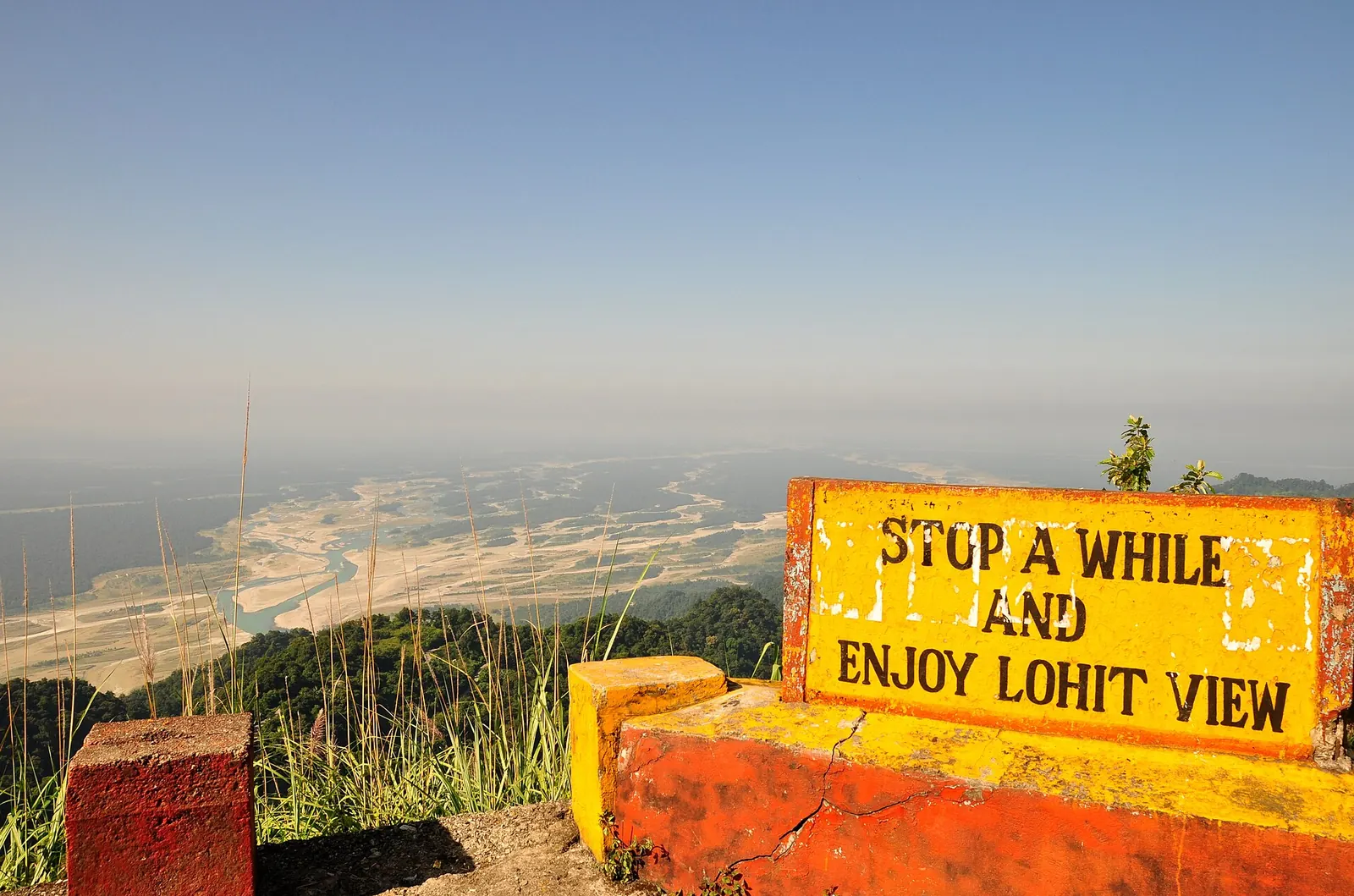
Arunachal Pradesh has the most national highway per person by far, about 310 km per lakh people on 2011 population, followed by Mizoram (137 km) and Sikkim (116 km). West Bengal (4 km), Kerala (5.3 km), Bihar (5.7 km) and Uttar Pradesh (6.1 km) have the least.
Calculated in this post from MoRTH's NH length for Arunachal Pradesh (4,285 km, in the table above) and its 2011 Census population of 1,383,727 (Wikipedia: States and union territories of India): 4,285 km / 13.84 lakh people = about 310 km per lakh.
The per-person figure measures something different from density:
- Frontier states: national highways are built for strategic connectivity and long distances, so each kilometre serves few people.
- Crowded plains states: the same kilometre carries towns, tractors, buses and trucks, which is why a day on NH in Bihar or Kerala can take longer than a day in Rajasthan.
Use the per-person column as a rough traffic warning: the lower the number, the busier each kilometre is likely to be.Sapta
Do national highways actually change the economy around them?
Yes, but mostly in a narrow band along the upgraded road. Two well-known studies on Indian roads make the point from opposite ends of the network.
The Golden Quadrilateral upgraded 5,846 km of highway linking Delhi, Mumbai, Chennai and Kolkata, started in 2001 and was mostly finished by 2007. Using plant-level data from 1994, 2000, 2005 and 2007 and a difference-in-differences design, the authors compare non-nodal districts 0 to 10 km from the GQ with districts 10 to 50 km away. The close districts saw much higher entry of new manufacturing plants and higher plant productivity; the farther ones did not, and the delayed North-South and East-West corridor showed no such effect, which supports a causal reading. The limit: it covers organised manufacturing only, and the benefits concentrate very close to the highway.
Read the paper (free)This study looks at the other end of the network: the roughly $40 billion PMGSY programme that built all-weather feeder roads to villages. Using a regression discontinuity design on population thresholds and census data covering every rural household and firm, the authors find that four years after a road arrives, the main effect is workers moving out of agriculture into non-farm jobs, with no major change in farm output, income or assets, and only a small rise in village firms. The limit: four years may be too short to see slower effects, and the result is about village roads, not highways.
Read the paper (free)
Read together, they say what a long-distance rider sees: big corridors pull activity toward them, and the towns 30 or 40 km off the highway change much less. That is also why fuel, food and help are reliably found on NH corridors and much less so off them.
What does this mean for planning a long ride?
Use the NH map to set your daily distance and the density table to set your expectations. States with long, well-built NH corridors let you hold a steady, fast pace for hours; thin-network states mean slower state highways and more towns.
My own NH16 run from Bengaluru to Kolkata in November 2025 is a good test case: about 2,000 km, 38 h 57 min elapsed with 26 h 42 min of riding, stopping roughly every 250 km.
NH16 crosses Andhra Pradesh and Odisha, both mid-density states with a long coastal corridor, which is exactly the kind of route that makes 800 to 1,000 km days possible. The planning method is in how many km per day you can ride and the 1,000 km day guide.
Use this to check what you just read against your own route: plug in the distance and the average speed your states allow.
How many riding days for your route?
The oldest of them all has a long story, told in the history of the Grand Trunk Road, and the longest individual highways are ranked in India's longest national highways.
What's new
- Zojila tunnel on the Srinagar–Leh NH breaks through; opening targeted for 2028 GE Plus, Jun 2026
- Six-lane Kacchi Dargah–Bidupur Ganga bridge, linked to NH-30, nears opening Patna Press, Jul 2026
- NH 766 hairpins on the Thamarassery ghat being widened Onmanorama, Dec 2025
Questions people ask
Which state has the longest national highway network in India?
Maharashtra, with 18,459 km of national highway as of 31 December 2022 according to MoRTH, ahead of Uttar Pradesh (12,270 km) and Rajasthan (10,706 km).
What is the total length of national highways in India?
MoRTH's state-wise table gives 1,44,955 km as of 31 December 2022, and its year-end review put the network at 1,46,145 km by November 2023, up from 91,287 km in 2013-14.
Which state has the least national highway?
Among states, Goa has the least at 299 km, followed by Sikkim at 709 km. Among union territories, Chandigarh has about 15 km.
Why did Maharashtra's NH length jump so much?
Maharashtra had 6,249 km in 2014 and 18,459 km by December 2022 (Business Today). Growth that fast is mostly existing state roads being notified as national highways, not new construction.
Are national highways better for motorcycles than state highways?
Usually yes for distance riding: wider carriageways, more fuel stations and bypassed towns. The exception is access-controlled expressways that ban two-wheelers, and hill NHs that are still single-lane.
Total length flatters the big states. Divide by people and the ranking flips: India's thinnest national highway networks.
Sources
- MoRTH: Annual Report 2022-23, Appendix 2, State/UT-wise details of NHs as on 31 Dec 2022 (2023)
- PIB: Year End Review 2023, Ministry of Road Transport and Highways (2024)
- Wikipedia: National highways of India (2014 state-wise table from MoRTH) (accessed 2026)
- Wikipedia: States and union territories of India (area and Census 2011 population) (accessed 2026)
- Ghani, Goswami and Kerr: Highway to Success, NBER Working Paper 18524 (2012)
- Asher and Novosad: Rural Roads and Local Economic Development, World Bank (2018; AER 2020)
- GE Plus: Breakthrough on Zojila tunnel (2026)
- Patna Press: Kacchi Dargah–Bidupur bridge (2026)
- Onmanorama: Thamarassery ghat widening on NH 766 (2025)
- Sapta: Bengaluru to Kolkata by bike, about 2,000 km on NH16 in 2 days (the NH16 ride)
- The Tribune: NHAI lays longest bituminous lane, 75 km in 105 hours (2022) (source for the story)

Sapta (Saptarshi Sarkar) is a mechanical engineer turned marketer in Bengaluru and a solo touring rider. He writes the seven Saptaverse blogs. Work with him or read more of RoadHook Rides.