For a Leh Ladakh bike trip, ride in via Srinagar (422 km, highest pass Fotu La at 4,108 m) and out via Manali (about 428 km over four passes above 4,700 m), between June and September, and budget at least 12 days from Srinagar to Manali. Spend 48 hours in Leh before going higher, register for the protected-area permit on the LAHDC portal, and plan for about 330 km without fuel between Tandi and Karu on the Manali side.
- Srinagar in (422 km), Manali out (about 428 km): you sleep at Kargil, 2,676 m, before Leh.
- Mid-June to mid-September is the dependable season; both roads close in winter.
- 12 days from Srinagar to Manali is the honest minimum, with 48 hours in Leh before any 5,000 m pass.
- 330 to 345 km without fuel between Tandi and Karu on the Manali side.
- Permits online on the LAHDC Leh portal; carry printouts for the Nubra and Pangong check posts.
This is a planning guide for riding your own bike or a rental, step by step, in the order you need to decide things. Every distance, altitude and date below comes from a source listed at the end, checked for the 2026 season. Where the sources disagree, I say so.
I have not ridden to Ladakh yet; my high-altitude riding is in Sikkim, including Gurudongmar in 2022 on a carburetted Pulsar NS200 that at times could not go faster than about 40 km/h. So this guide is built the way I plan my own rides: from the data, not from one person's trip report.
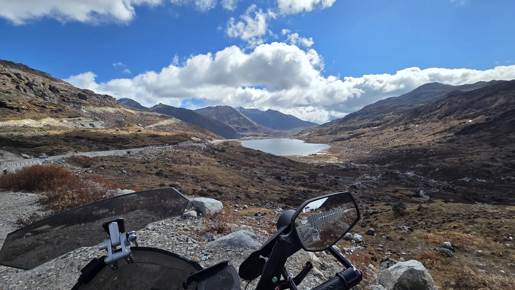
Step 1: Which route in, and which route out?
Go in through Srinagar and come out through Manali if you can. The Srinagar road climbs slowly, so your body adapts on the way up; the Manali road makes you sleep high on day two.
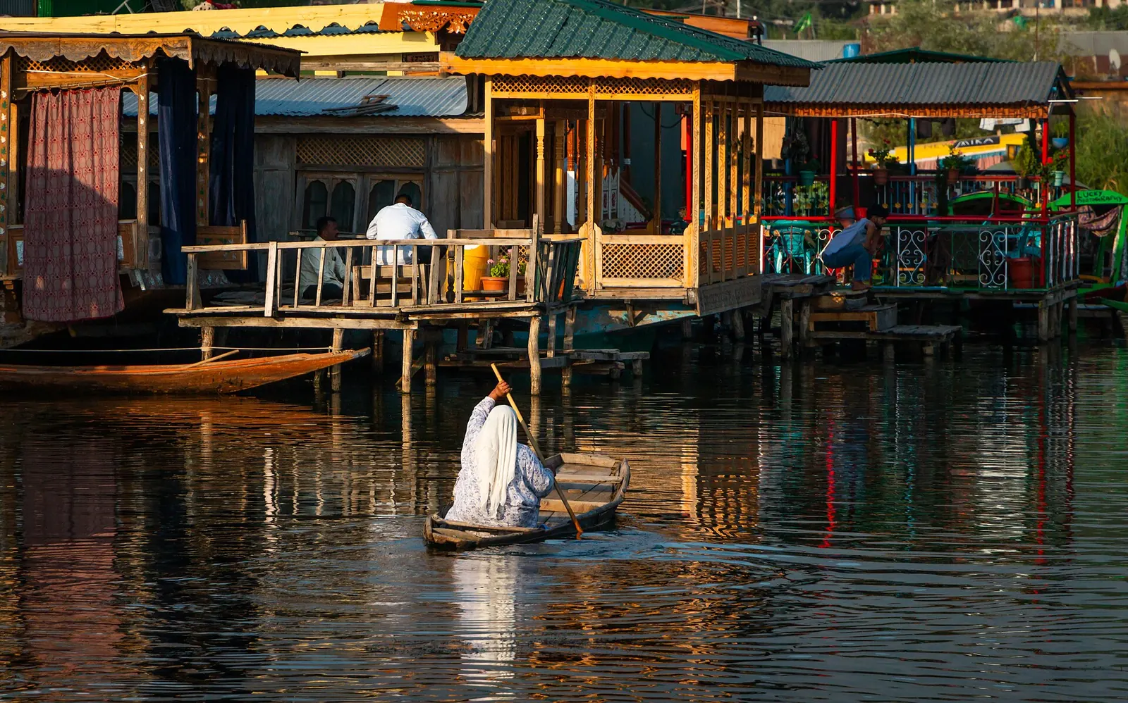
| Srinagar–Leh (NH1) | Manali–Leh (NH3) | |
|---|---|---|
| Length | 422 km | about 428 km (431 km via Atal Tunnel) |
| Highest pass | Fotu La, 4,108 m (Zoji La 3,528 m) | Tanglang La, 5,328 m |
| Other passes | Zoji La, Namika La | Baralacha La 4,850 m, Nakee La 4,739 m, Lachulung La 5,065 m |
| Overnight on the way | Kargil, 2,676 m | Jispa 3,200 m or Sarchu 4,201 m |
| Usual open season | early June to mid-November | about May/June to October |
| Fuel gap | Short; towns along the route | about 330 km, Tandi to Karu |
| New tunnels | Z-Morh (6.5 km, opened Jan 2025); Zojila (13 km, due 2028) | Atal Tunnel (9.02 km, since Oct 2020) |
The altitude ladder explains the choice. From Srinagar (1,585 m) you sleep at Kargil (2,676 m) and arrive at Leh (3,500 m) on day two, never sleeping above Leh.
From Manali (2,050 m) the usual plan sleeps at Jispa (3,200 m) and then crosses passes above 4,700 m before Leh, or sleeps at Sarchu at 4,201 m, which is higher than Leh itself. The trade-off is covered in more depth in Ladakh via Manali or Srinagar.
See the data as a table
| Altitude (m) | |
|---|---|
| Manali | 2050 |
| Atal Tunnel | 3060 |
| Jispa | 3200 |
| Baralacha La | 4850 |
| Sarchu | 4201 |
| Nakee La | 4739 |
| Lachulung La | 5065 |
| More plains | 4700 |
| Tanglang La | 5328 |
| Leh | 3500 |
Source: Wikipedia: Leh–Manali Highway and place pages; Atal Tunnel altitude from Discover with Dheeraj 2026 status page · Tanglang La is 5,328 m in the article text and 5,359 m in its infobox.
Step 2: When should you go?
Plan for mid-June to mid-September. Both highways close in winter, and the first and last two weeks of each season bring snow, landslides and swollen stream crossings.
In 2026 the Border Roads Organisation connected the Manali–Leh road end to end in mid-May, ran about two weeks of alternate-day movement on the Darcha–Sarchu section, and allowed unrestricted civilian traffic from 1 June. Baralacha La had light snow by 13 October, and in 2025 the closure order came on 20 November.
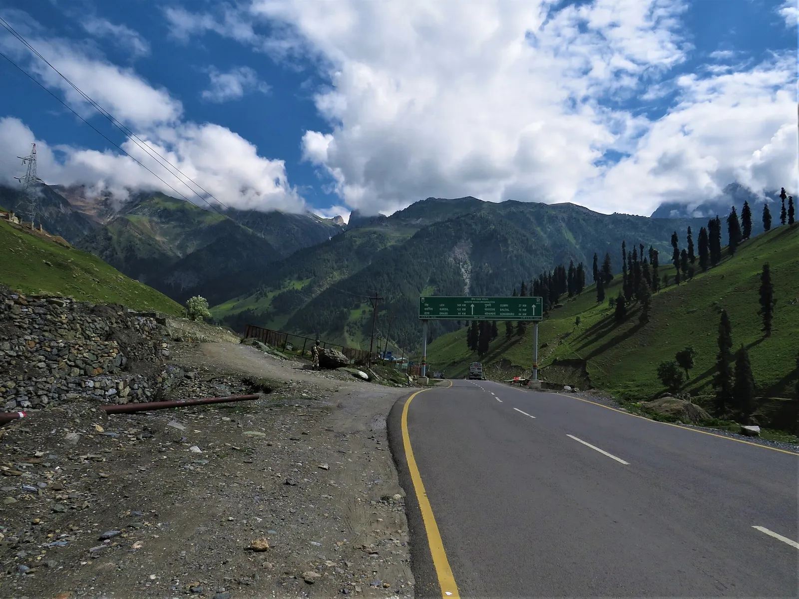
The Srinagar side usually opens earlier, in early June, which is why riders on forums in late May are told to start from Kashmir. One rider who started on 3 June found Baralacha still shut and had to turn back after waiting two days near the pass.
Leh sits in a cold desert. Its average August rainfall is about 15.4 mm, and its wettest 24 hours on record, in 1933, brought 51.3 mm. Between midnight and 12:30 am on 6 August 2010, in the middle of peak tourist season, a cloudburst broke over the town. The airport gauge logged only 12.8 mm for the night, but inside the storm band rain fell at 150 mm an hour or more, and flash floods and mudflows poured down the side valleys.
At least 255 residents died and 29 were never found; six foreign tourists were killed outside Leh. The flood wrecked the bus terminal, carried buses more than a mile in the mud, destroyed the telephone exchange and mobile towers, and damaged the roads and bridges into Leh. The town's roughly 3,000 tourists were reported safe, but the place they had planned around stopped working overnight. A Ladakh plan needs spare days even in the "dry" months.
Wikipedia: 2010 Ladakh floods, with its cited sourcesStep 3: How many days do you need?
Twelve riding-and-rest days from Srinagar to Manali is the honest minimum; 14 is comfortable. The plan below uses short days at altitude and two nights in Leh before any pass above 5,000 m.
| Day | Route | Sleep at | Sleep altitude (m) |
|---|---|---|---|
| 1 | Srinagar to Kargil via Zoji La | Kargil | 2,676 |
| 2 | Kargil to Leh via Fotu La | Leh | 3,500 |
| 3 | Rest, short local ride | Leh | 3,500 |
| 4 | Rest, permits, bike check | Leh | 3,500 |
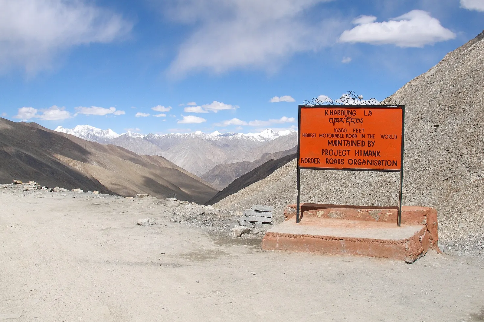
| 5 | Leh to Nubra via Khardung La (5,359 m) | Nubra valley | see note |
| 6 | Nubra to Pangong via Shyok | Pangong shore | about 4,328 |
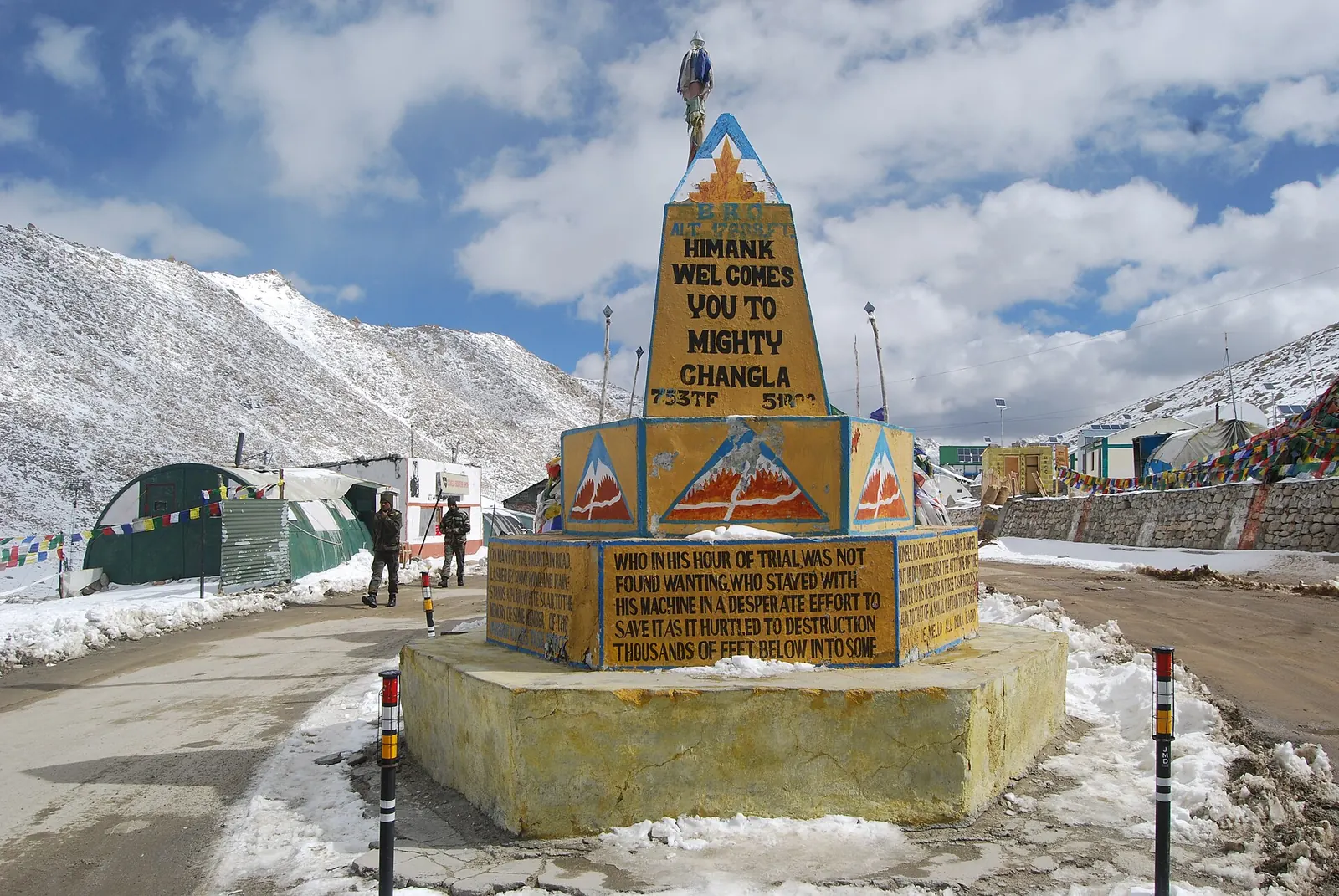
| 7 | Pangong to Leh via Chang La (5,360 m) | Leh | 3,500 |
| 8 | Buffer day | Leh | 3,500 |
| 9 | Leh to Sarchu via Tanglang La | Sarchu | 4,201 |
| 10 | Sarchu to Jispa via Baralacha La | Jispa | 3,200 |
| 11 | Jispa to Manali via Atal Tunnel | Manali | 2,050 |
| 12 | Buffer day | Manali | 2,050 |
See the data as a table
| Sleep altitude (m) | |
|---|---|
| D1 Kargil | 2676 |
| D2 Leh | 3500 |
| D3 Leh | 3500 |
| D4 Leh | 3500 |
| D5 Nubra | |
| D6 Pangong | 4328 |
| D7 Leh | 3500 |
| D8 Leh | 3500 |
| D9 Sarchu | 4201 |
| D10 Jispa | 3200 |
| D11 Manali | 2050 |
| D12 Manali | 2050 |
Source: Wikipedia place and highway pages (Kargil, Leh, Pangong Tso, Sarchu, Jispa, Manali) · Nubra left blank: I could not confirm one figure for the villages riders stay in.
Want Tso Moriri too? Add two days: Leh to Tso Moriri via Upshi and Sumdo, a night at Karzok (about 4,595 m), and then rejoin the Manali highway via Tso Kar. That loop and the other high lakes are in the highest lakes you can ride to.
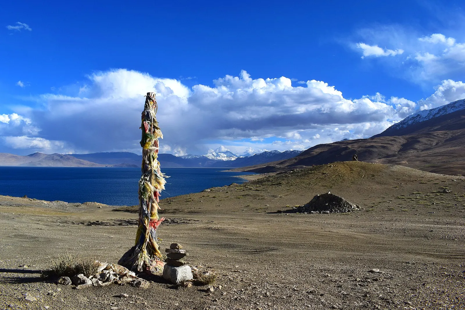
Step 4: Which permits and fees do you need?
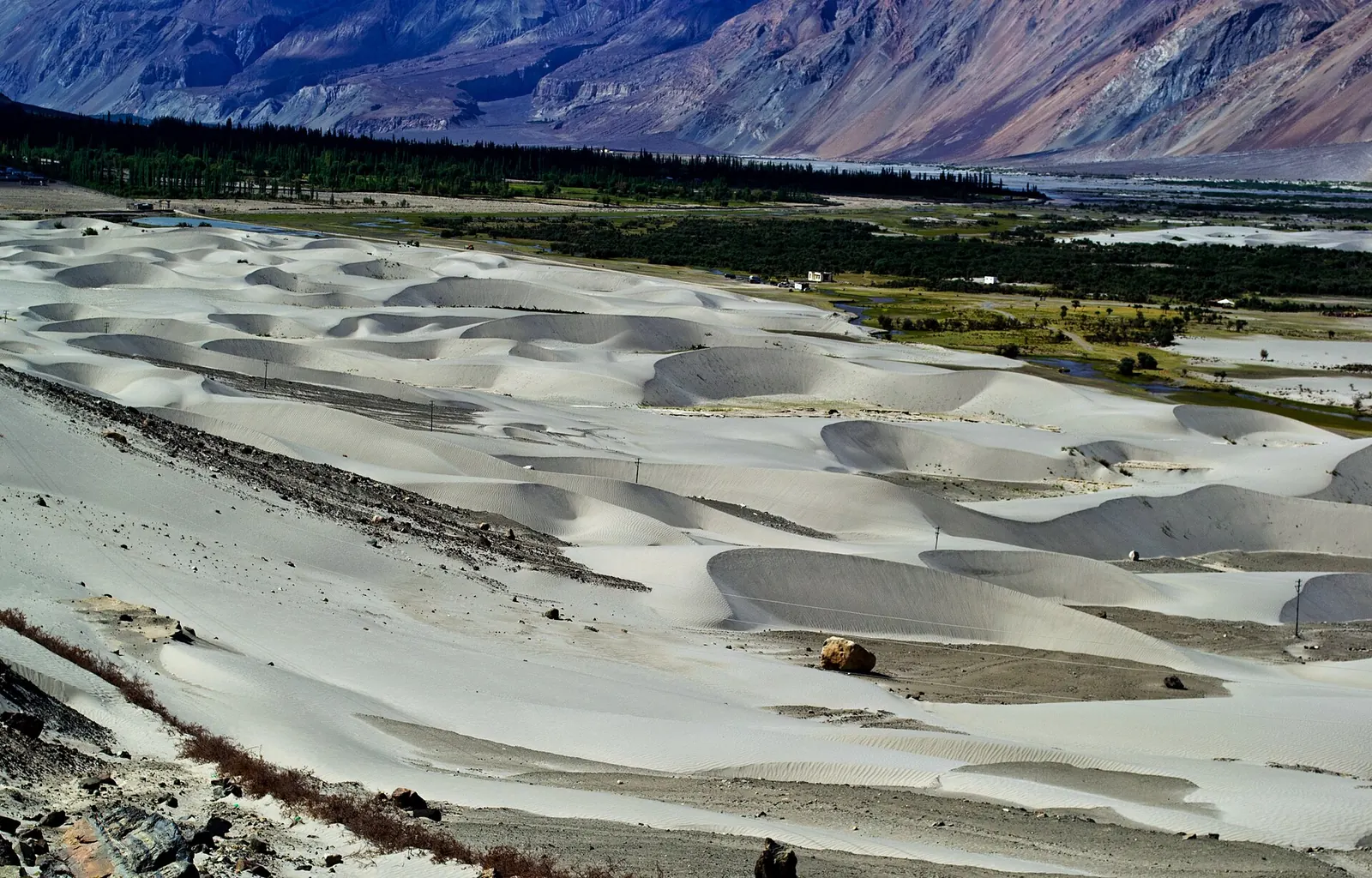
Indian riders need the Ladakh protected-area permit for the inner-line areas, applied and paid for online on the LAHDC Leh portal. It covers places such as Nubra, Khardung La, Pangong and Tso Moriri.
- Register on the LAHDC portal. The fee is made up of an environmental (green) fee, a Red Cross fund contribution and a wildlife fee. LAHDC says the existing fee structure continues; check the current rupee amounts on the portal, because blogs quote different totals.
- Pay online or through an agent. Permits arranged through a local travel agent get a 10% discount on the total fee, according to the portal.
- Carry printouts. Check posts on the Nubra and Pangong roads ask for them, and phone signal is patchy.
- Foreign riders need a Protected Area Permit or Restricted Area Permit, usually through a registered Leh agent. Some nationalities and passport types need clearance from the Home or External Affairs ministry.
- Watch for fakes. The portal warns about fraudulent environmental-fee slips sold outside official channels.
The permit history and how the inner line came to exist are in the history of the inner line permit. What it all costs, permit to petrol, is worked out in the Ladakh bike trip cost breakdown.
Step 5: How do you acclimatise properly?
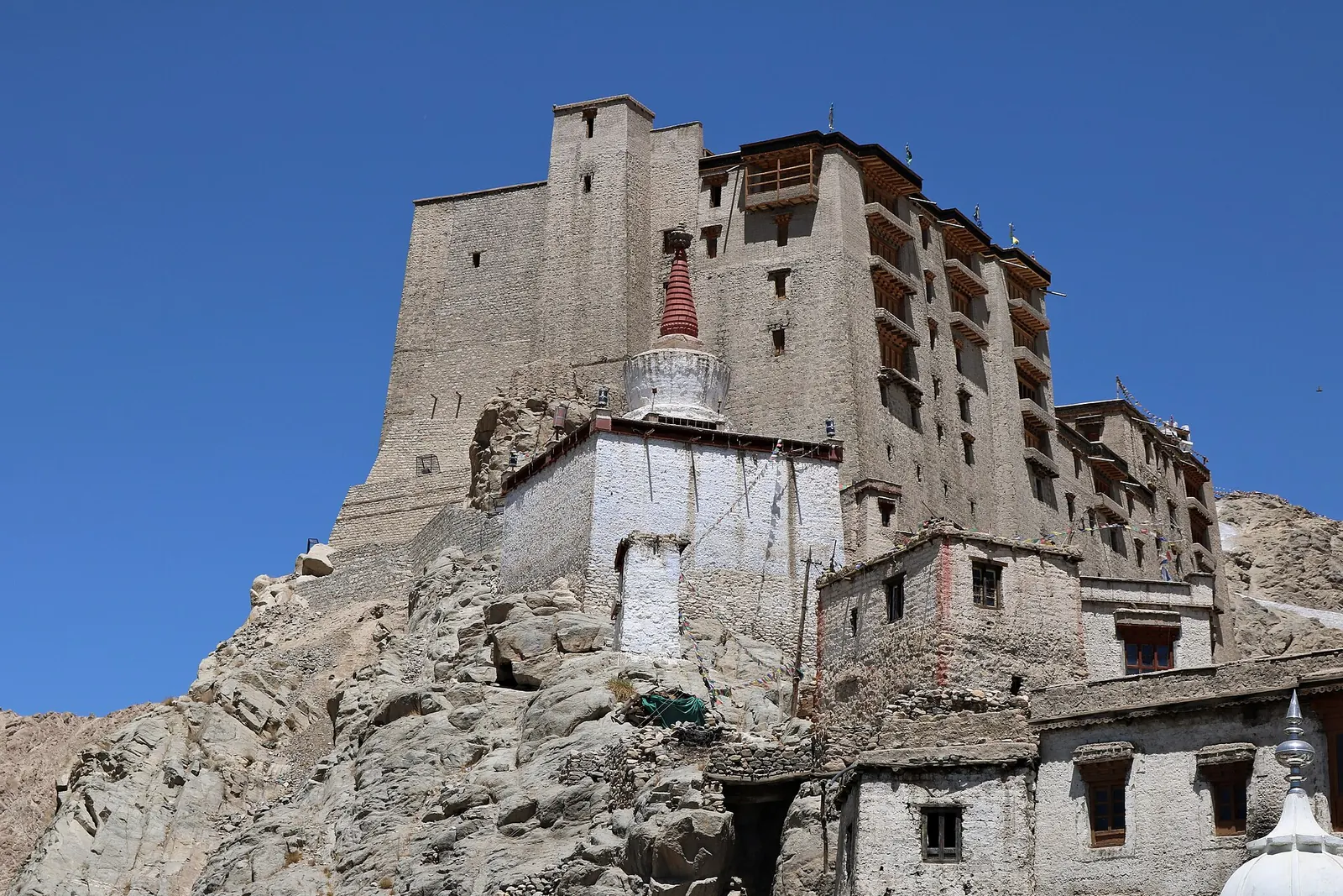
Spend at least 48 hours in Leh before going to Khardung La, Chang La or Pangong, and do not count road time as acclimatisation. That is the LAHDC's own advisory, and the research behind it, in the Indian Journal of Medical Research and the Journal of Travel Medicine, is clear.
Riding in is better than flying in, but it is not a free pass.
The study followed 1,228 Indian lowlanders who flew to Leh (3,500 m) and then followed a structured acclimatisation schedule. Only 6.4% developed headache, and 3.25% had acute mountain sickness without high-altitude headache; first-time visitors had about 4.5 times the odds of AMS of people returning to altitude. The authors also show that the standard Lake Louise score can label a simple altitude headache as AMS. The limit: participants were healthy men aged 18 to 45 under supervision, so the low rates reflect disciplined acclimatisation, not what a tourist rushing to Pangong on day two should expect.
Read the paper (free)Across 12 observational studies of 11,021 people at altitudes from 2,200 to 4,559 m, AMS incidence rose with altitude about 4.5 times more steeply after air travel than after slower ascent by road or on foot. The authors name Leh at 3,500 m among the destinations where this matters, and note that more than half of fast ascenders above 4,500 m get AMS. The limit: pooled observational data with different definitions of AMS, so treat the numbers as a direction, not a precise risk.
Read the paper (free)What the advisory adds
Riding in is better than flying in, but it is not a free pass. The LAHDC advisory also suggests discussing acetazolamide (Diamox) with your doctor, drinking 2 to 3 litres of water a day, and avoiding alcohol, cigarettes and hard exertion for the first two days. The full day-by-day method is in the acclimatisation plan for a Ladakh ride.
Step 6: How do you plan fuel?
On the Manali side, the gap between the pump at Tandi and the next one at Karu, about 30 km before Leh, is roughly 330 km; a 2026 route guide puts it at 345 km. A pump at Keylong opened in September 2021, but treat Tandi or Keylong as your last full tank and carry a reserve for the rest.
Will your tank cross the Tandi–Karu gap?
For reference, my KTM 390 Adventure has returned about 22 to 24 km/l when ridden aggressively, so I would plan on the lower end at altitude and still carry spare fuel. One 2026 route guide advises PET bottles rather than metal jerry cans for bikes. The method behind range planning is in motorcycle fuel range planning.
Step 7: Own bike or rental?
Your own bike gives you a machine you know and gear you trust; a rental from Manali or Leh saves you 2,000 km or more of plains riding and the cost of shipping. Decide on three questions.
- Fuel system. A fuel-injected bike adjusts its mixture to thin air. A carburetted bike runs rich above 4,000 m and loses power; my NS200 at Gurudongmar is a good example of that.
- Engine size. Small bikes do make it, but forum veterans warned a rider planning a loaded 100cc two-up trip that it would be very difficult. If you are on a small bike, read whether a 125cc can do Ladakh first.
- Getting there. Riding from Bengaluru or Kolkata adds several days of plains riding each way. Railing the bike to Jammu or Chandigarh is the middle path.

Step 8: What should you pack?
Pack for snow at the passes and hot sun in the valleys on the same day. Layers, waterproofs and a puncture kit matter more than anything else; the full list is in the motorcycle touring packing list, and the gear I use is on my gear page.
- Base layer, mid layer and a windproof riding jacket, plus a balaclava and winter gloves.
- Rain jacket and trousers, and waterproof covers for luggage.
- Tubeless repair kit or spare tubes, a compressor, levers, chain lube and the bike's toolkit.
- Printouts of permits, ID and vehicle papers; offline maps.
- Sunscreen and UV-rated sunglasses: the sun at 5,000 m burns in minutes.
What's new
- Zojila tunnel breaks through on 9 June; opening targeted for February 2028 GE Plus, Jun 2026
- Manali–Leh 2026: end-to-end in mid-May, open to all from 1 June, closure watch from October Discover with Dheeraj, Oct 2026
- BRO's Likaru–Mig La–Fukche road claims the highest motorable record at about 19,400 ft The Tribune, Oct 2025
Questions people ask
Which is better for a Ladakh bike trip, Manali or Srinagar?
Srinagar for the way in, because you sleep at Kargil (2,676 m) and never above Leh before you have acclimatised. Manali is better for the way out, when you are already used to altitude.
What is the best month for a Leh Ladakh bike trip?
Mid-June to mid-September. In 2026 the Manali–Leh road opened to all civilian traffic on 1 June; the Srinagar side usually opens in early June and stays open into November.
How many days do I need for Ladakh by bike?
At least 12 days from Srinagar to Manali including two rest days in Leh and one buffer; 14 if you add Tso Moriri. Add the days to get to Srinagar or Manali from home.
Do Indians need a permit for Ladakh?
Yes, for the protected areas such as Nubra, Khardung La, Pangong and Tso Moriri. It is issued online through the LAHDC Leh permit portal and includes environmental, Red Cross and wildlife fees.
Where is the last petrol pump on the Manali–Leh highway?
Tandi, near Keylong, with a newer pump at Keylong itself. The next is at Karu, about 30 km before Leh, so plan for roughly 330 to 345 km without fuel.
Sources
- Wikipedia: Leh–Manali Highway (accessed 2026)
- Wikipedia: Srinagar–Leh Highway (accessed 2026)
- Wikipedia: Z-Morh Tunnel (accessed 2026)
- Wikipedia: Zoji-la Tunnel (accessed 2026)
- LAHDC Leh: permit portal, fee components and acclimatisation advisory (2026)
- Discover with Dheeraj: Manali–Leh highway status 2026 (Oct 2026)
- Unnikrishnan et al.: HAH and AMS in Leh, Indian Journal of Medical Research (2024)
- Burtscher et al.: Flying to high-altitude destinations, Journal of Travel Medicine (2023)
- GE Plus: Breakthrough on Zojila tunnel (2026)
- The Tribune: BRO's Mig La road (2025)
- Tripoto community: Ladakh by bike in late May or early June
- xBhp: Leh Ladakh planning thread
- Wikipedia: 2010 Ladakh floods (accessed 2026) (source for the story)

Sapta (Saptarshi Sarkar) is a mechanical engineer turned marketer in Bengaluru and a solo touring rider. He writes the seven Saptaverse blogs. Work with him or read more of RoadHook Rides.