
For a solo Northeast bike trip from Kolkata covering Sikkim, Assam, Meghalaya, Arunachal and Nagaland, start in early October rather than September, ride Sikkim first, then loop east through Guwahati, Shillong, Tawang and Kohima, and allow 25 to 30 days. Sequence the permits with the route: Arunachal's tourist eILP is valid for 14 days, so apply for it only once your Arunachal entry date is firm, and leave Tripura and Mizoram for a second trip.
- Early October, not September: Gangtok averages 427.7 mm of rain in September and 174.3 mm in October (IMD normals).
- Sikkim first, then Meghalaya, Arunachal to Tawang and Nagaland, in 25 to 30 days from Kolkata.
- 14 days is the tourist eILP window for Arunachal: apply once your entry date is firm.
- 90.6 deaths per 100 crashes in Mizoram and 75.3 in Meghalaya in 2023, against 36 nationally.
- Finish by 4 pm on mountain days; the sun sets early this far east on Indian time.
The question comes up constantly on Northeast travel forums in the same shape: a rider in Kolkata wants to do "all of the Northeast" alone on a bike in September and October and asks which order makes sense. It is a good instinct to ask, because the region punishes a plan drawn on a map without the calendar.
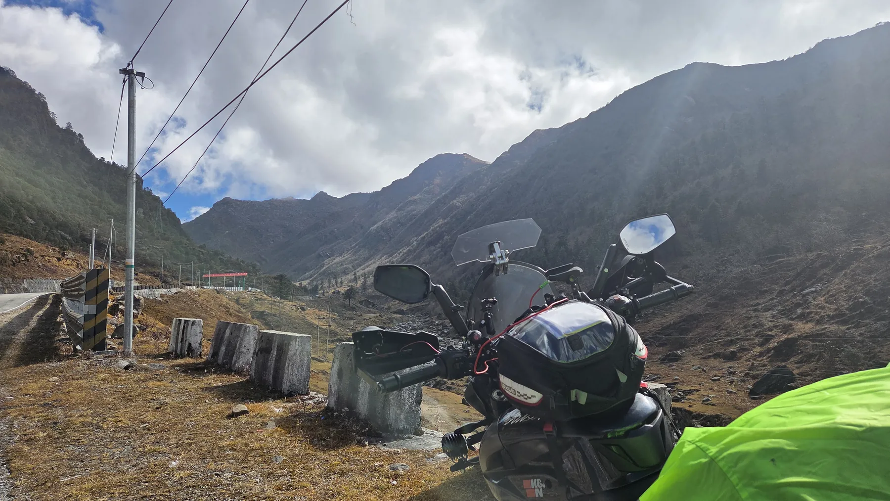
I grew up in Jalpaiguri in North Bengal, the gateway to this region, and have ridden Kolkata to Gangtok and Nathu La, to Chungthang, and in 2022 to Gurudongmar on a carburetted Pulsar NS200. The Northeast proper, east of Siliguri, is my next big ride on the KTM. So this answer is part experience, part the plan I am building for myself.
When should you start a Northeast bike trip?
Start in the first week of October, not September, because September is still monsoon in the eastern Himalaya. IMD normals give Gangtok 427.7 mm of rain over 21.4 rainy days in September, falling to 174.3 mm over 8.4 days in October and 36.9 mm in November. Shillong drops from 270.1 mm in September to 197.2 mm in October; Guwahati from 184.5 mm to 117.9 mm.
See the data as a table
| Gangtok (mm) | Shillong (mm) | Guwahati (mm) | |
|---|---|---|---|
| September | 427.7 | 270.1 | 184.5 |
| October | 174.3 | 197.2 | 117.9 |
| November | 36.9 | 24.7 | 9.6 |
Source: India Meteorological Department normals 1991-2020, as tabulated on Wikipedia city pages · Rainy days: Gangtok 21.4 (Sep), 8.4 (Oct), 2.2 (Nov); Shillong 14.5, 8.4, 1.5; Guwahati 9.7, 4.8, 0.7.
Rain matters on a bike for the obvious reason (grip, visibility, wet gear) and for a less obvious one: landslides. The eastern Himalaya's roads are cut into steep, weak slopes, and a single heavy night closes them for hours or days.
A late start costs you warmth at altitude, which layers fix. An early start costs you days stuck behind slides.
Built a global database of 4,862 fatal, non-earthquake landslides that killed 55,997 people between January 2004 and December 2016. Rainfall triggered 79% of events, and the seasonal peak follows the Northern Hemisphere summer, driven by South, Southeast and East Asia. India and Nepal together accounted for about 21% of all rainfall-triggered events worldwide, mostly in the monsoon, and the Himalayan arc stands out as a cluster. Human triggers are rising too: India accounted for 28% of construction-triggered fatal landslides. Limit: the database counts only landslides that killed someone and depends on media reports, so it undercounts remote events, which is most of the Northeast.
Read the paper (free)What is the best route order for a solo Northeast loop?
The best order for a first solo loop from Kolkata is Sikkim first, then Assam and Meghalaya, then Arunachal to Tawang, then Nagaland, and back to Siliguri.
- Sikkim early: it is closest to Kolkata and holds the highest roads on the loop, so you ride them while it is still early in the season.
- Arunachal and Nagaland later: by then the eastern monsoon tail has eased further.
- Meghalaya in between: no permit and short hill days, a natural rest between two hard legs.
| Leg | Route | Suggested days | Why in this order |
|---|---|---|---|
| 1 | Kolkata to Siliguri | 2 | Long plains days while fresh |
| 2 | Sikkim: Gangtok, East Sikkim (Zuluk, Nathu La area), North Sikkim if open | 6 to 7 | Highest and most weather-exposed roads first |
| 3 | Siliguri to Guwahati | 2 | Transfer through the Dooars |
| 4 | Meghalaya: Shillong, Cherrapunji, Dawki | 3 to 4 | No permit; short hill days |
| 5 | Arunachal: Bhalukpong, Bomdila, Dirang, Sela, Tawang | 6 to 7 | Inside the 14-day eILP window with spare days |
| 6 | Nagaland: Kohima, Dzukou base, back to Assam | 3 to 4 | ILP from the Nagaland portal |
| 7 | Assam to Siliguri to Kolkata | 3 to 4 | Return transfer |
| Total | 25 to 30 | Includes 2 to 3 buffer days |
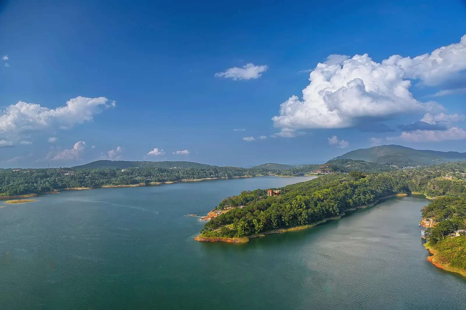
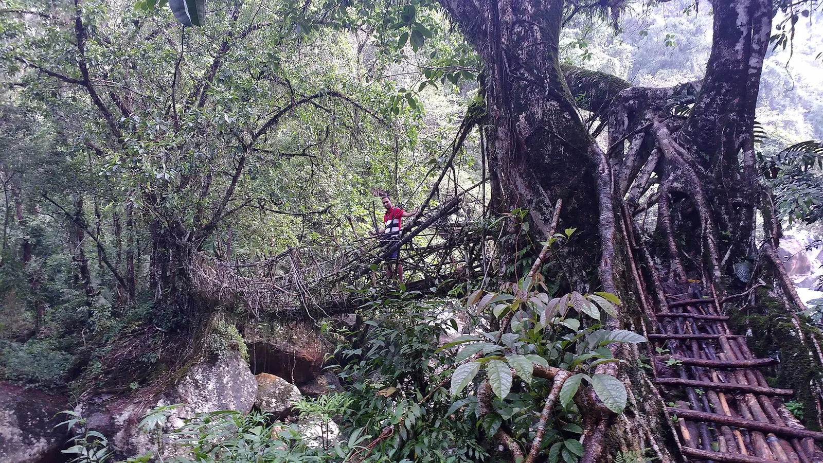
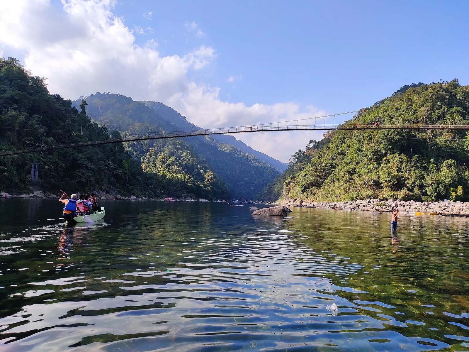
These are my planning numbers, not a published itinerary; adjust them to your own daily pace with my daily distance calculator.
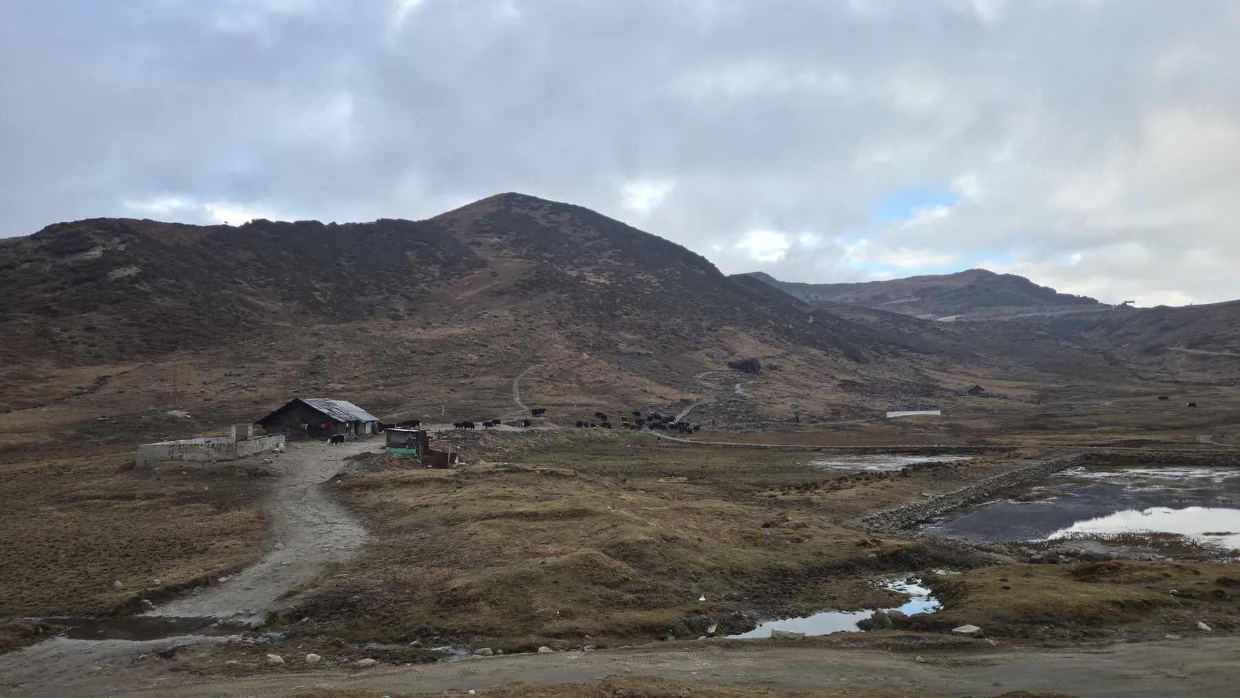
On the evening of Wednesday 3 September 2025, intense rain set off five landslides near Jang, on the Balipara–Charduar–Tawang road below Tawang. They blocked both the Jang bypass and the main highway, and about 25 vehicles, carrying around 60 tourists and local people, were stuck.
Border Roads crews of Project Vartak cleared every slide and had traffic moving again by midnight, handing out food and drinking water while the road was unsafe. In the same week, landslides at seven places blocked roads in the Tinsukia and Dibrugarh districts of Assam. By hill standards the Jang reopening was fast, and it still turned an evening on the road into a wait that ran to midnight.
The Morung Express (IANS): Landslides hit Arunachal's Tawang; BRO helps stranded tourists, localsAn evening stuck between landslides is exactly what the plan above tries to absorb: mountain days here should end in daylight, with offline maps loaded.
Which permits do you need, and in what order?
You need permits for Arunachal and Nagaland on this loop, plus Sikkim's restricted-area permits for places like Nathu La and North Sikkim; Assam and Meghalaya need none. Order matters because Arunachal's tourist eILP runs for only 14 days.
| State | Permit for Indian tourists | Validity | Where to apply |
|---|---|---|---|
| Arunachal Pradesh | Tourist eILP | Stays up to 14 days; longer needs a provisional ILP | eilp.arunachal.gov.in, or Arunachal offices in Kolkata, Guwahati, Tezpur and other cities |
| Nagaland | Inner Line Permit | Set on the permit | Nagaland ILP portal; fee listed as ₹200 for Indian tourists |
| Mizoram | Temporary ILP | 15 days, extendable by 15 | Mizoram government; also at Lengpui airport |
| Manipur | Inner Line Permit (since Dec 2019) | Set on the permit | Manipur government |
| Sikkim | Restricted-area permits (Nathu La, North Sikkim) | Per trip | See my Sikkim permits guide |
| Assam, Meghalaya, Tripura | None | - | - |
The Arunachal details come from the state tourism department's eILP page; the others from the Inner Line Permit entry on Wikipedia, which traces the system to the Bengal Eastern Frontier Regulation of 1873. Fees and processes change, so confirm on the official portal before you pay. For the full Sikkim process, read my Sikkim bike trip permits guide, and for Arunachal, the Tawang bike trip and ILP guide.
Use this to check your own plan against the window before you pay for the permit.
Does your Arunachal leg fit the eILP?
How dangerous are Northeast roads for a solo rider?
Crashes in most Northeast states are fewer but deadlier than the national average: in 2023, Mizoram recorded 90.6 deaths per 100 road accidents and Meghalaya 75.3, against an all-India figure of 36. The report does not break down causes by state, but the pattern is clear: when a crash happens here, it is more likely to kill.
See the data as a table
| Deaths per 100 accidents | |
|---|---|
| Mizoram | 90.6 |
| Meghalaya | 75.3 |
| Arunachal Pradesh | 50.5 |
| Tripura | 45.2 |
| Assam | 44.4 |
| Sikkim | 31.3 |
| Nagaland | 28.4 |
| Manipur | 18.3 |
| All India | 36.0 |
Source: MoRTH, Road Accidents in India 2023 (state tables); severity computed as deaths divided by accidents · Small states have few accidents (Mizoram 106, Sikkim 182), so one bad year moves the figure a lot.
The national compilation of police-reported road crashes for 2023. Accident severity, measured as persons killed per 100 accidents, was 36 nationally, and about 60% of states and UTs were above that average; Mizoram was the highest in the country at 90.6. The state tables give 287 accidents and 145 deaths in Arunachal Pradesh, 223 and 168 in Meghalaya, 182 and 57 in Sikkim, and 7,421 and 3,296 in Assam. Two-wheeler riders made up 44.8% of road deaths nationwide. Limit: small counts make northeast severity figures swing year to year, and police records miss many minor crashes, which inflates severity everywhere.
Read the report (free)For a solo rider, that severity number is the case for a safety plan:
- Share a daily route and arrival time with someone.
- Carry a first-aid kit you know how to use.
- Stop before dark.
My solo touring safety plan sets out the check-in routine I use.

What changes on the Tawang road and the Frontier Highway?
The road to Tawang is easier in winter than it was before 2024, because the Sela Tunnel, opened on 9 March 2024, carries traffic at about 3,000 m under the Sela Pass (about 4,200 m) (Wikipedia: Sela Tunnel). A new Sela-Chabrela-BJ Gompa road, dedicated in December 2025, gives Tawang a second approach for the first time.


The bigger project is the Arunachal Frontier Highway (NH-913), a planned 1,748 km road along the border from the Tawang-Bomdila side to Vijaynagar in Changlang district, budgeted at ₹27,000 crore (Wikipedia: Arunachal Frontier Highway).
In September 2025, the state's public works department gave a revised completion target of 2028-29, with sections opening from 2027. For a 2026 or 2027 trip, treat it as a construction zone, not a route. The longer argument about what it means for touring is in my essay on the Northeast as India's touring frontier.
What about fuel, daylight and network?
Daylight is the tightest constraint in the Northeast in October: the region lies far east within a single national time zone, so the sun rises and sets earlier by the clock than in Kolkata, and much earlier than in Delhi.
| Constraint | What to do |
|---|---|
| Daylight | Plan mountain days to end by 4 pm |
| Fuel | Fill up in district towns; do not count on small hill pumps |
| Network | Patchy in Arunachal's high country; download offline maps before Bomdila |
| Night stops | Flexible in Sikkim and North Bengal; book ahead in Arunachal |
My notes on fuel range planning explain how I set a reserve.
Habits that carry over from any long solo ride
- Stops about every 250 km on the plains.
- Short food stops.
- Reliable fuel stations as fixed waypoints.
- No riding through city centres at rush hour.
On the November 2025 Sikkim ride I found a homestay without booking and rode down from Zuluk, at about 2,750 m, to Cooch Behar, at about 46 m, through Lava and the Dooars in one stretch. Flexibility works in Sikkim and North Bengal because the road network is dense. In Arunachal, with longer gaps between towns, book the night ahead.
What should a first-timer leave out?
Leave out Tripura, Mizoram and Manipur on a first solo loop, and keep North Sikkim optional:
- Tripura and Mizoram add a long southern detour of several riding days.
- Mizoram and Manipur need their own permits.
- North Sikkim depends on road and permit status that changes after each monsoon.
A focused 25 to 30 day loop that you finish rested is worth more than a 40 day one you abandon in week three. More routes and region notes are on the Yatri page.
What's new
- Tawang gets a second road axis via Sela, Chabrela and BJ Gompa The Tribune, Dec 2025
- Arunachal tourism confirms the tourist eILP covers stays of up to 14 days, with longer stays on a provisional ILP Arunachal Pradesh Tourism, 2026
- Petrol and diesel prices raised twice in a week after state elections Business Today, May 2026
Questions people ask
Is September a good time for a Northeast bike trip?
Not for the hills. IMD normals give Gangtok 427.7 mm of rain over 21.4 days in September, and rain triggers most landslides in the region. Early October is much drier, and November drier still.
How many days do I need to ride the Northeast from Kolkata?
About 25 to 30 days for Sikkim, Meghalaya, Arunachal up to Tawang and Nagaland, including two to three buffer days. Adding Tripura and Mizoram pushes it past five weeks.
Do I need an Inner Line Permit for Meghalaya or Assam?
No. Assam, Meghalaya and Tripura need no permit for Indian citizens. Arunachal, Nagaland, Mizoram and Manipur do, and Sikkim needs permits for restricted areas such as Nathu La and North Sikkim.
Is it safe to ride the Northeast solo?
It can be, with planning, but crash severity is high: in 2023, Mizoram and Meghalaya recorded 90.6 and 75.3 deaths per 100 accidents against a national 36. Ride in daylight, share your plan daily and carry first aid.
Sources
- Froude, M. J. and Petley, D. N.: Global fatal landslide occurrence from 2004 to 2016. NHESS (2018)
- MoRTH: Road Accidents in India 2023 (report mirror on OpenCity) (2025)
- Arunachal Pradesh Tourism: Inner Line Permit
- Government of Arunachal Pradesh: Tourist eILP portal
- Wikipedia: Inner Line Permit
- Wikipedia: Gangtok (IMD climate normals)
- Sapta's ride log (Yatri): Gurudongmar on the NS200 (2022)
- The Morung Express (IANS): Landslides hit Arunachal's Tawang; BRO helps stranded tourists, locals (Sep 2025; source for the story)
- Wikipedia: Shillong (IMD climate normals)
- Wikipedia: Guwahati (IMD climate normals)
- Wikipedia: Sela Tunnel
- Wikipedia: Arunachal Frontier Highway
- The Tribune: Tawang gets alternative road axis (Dec 2025)
- Business Today: Petrol, diesel prices hiked (May 2026)

Sapta (Saptarshi Sarkar) is a mechanical engineer turned marketer in Bengaluru and a solo touring rider. He writes the seven Saptaverse blogs. Work with him or read more of RoadHook Rides.


